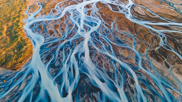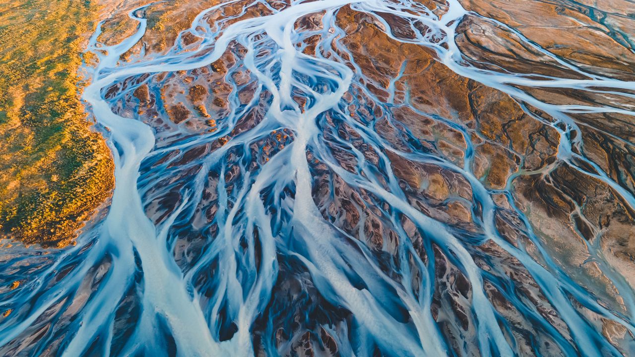
Aerial view of glacial rivers in Iceland
© rybarmarekk/Shutterstoc
Glacial rivers, Iceland
Glacial rivers in 'the land of fire and ice'—Iceland—have shaped the landscape over thousands of years. The rivers seen in today's image are formed from the meltwater of vast glaciers like Vatnajökull, Langjökull and Hofsjökull. Vatnajökull, the largest ice cap in Iceland, covers over 770,000 hectares—approximately 10% of the country's landmass. As the glaciers melt, the water carries fine sediments, creating a braided river system with a milky appearance that contrasts with the earthy tones of the volcanic terrain. Every spring and summer, the rivers swell with seasonal meltwater, continually shaping and reshaping the land.
Aerial views reveal their intricate patterns, resembling complex artworks that interweave across the terrain toward the North Atlantic Ocean. The water in Iceland is more than just a beautiful sight; it plays a significant role in renewable energy. Its flow powers hydroelectric power stations, reinforcing Iceland's status as a leader in sustainable energy.
Related Images
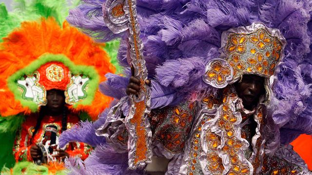 Members of the Wild Red Flame Mardi Gras Indians in New Orleans, Louisiana
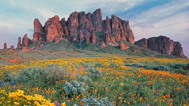 Wildflowers in bloom at Lost Dutchman State Park in Arizona
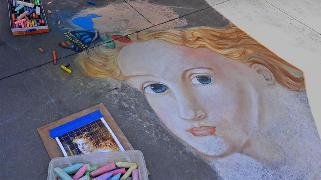 Street art from the Pasadena Chalk Festival 2013, Pasadena, California
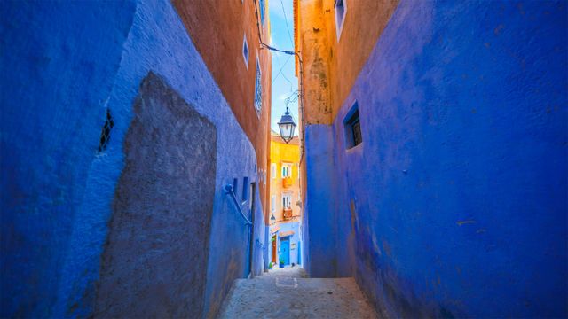 Blue walls of Chefchaouen, Morocco
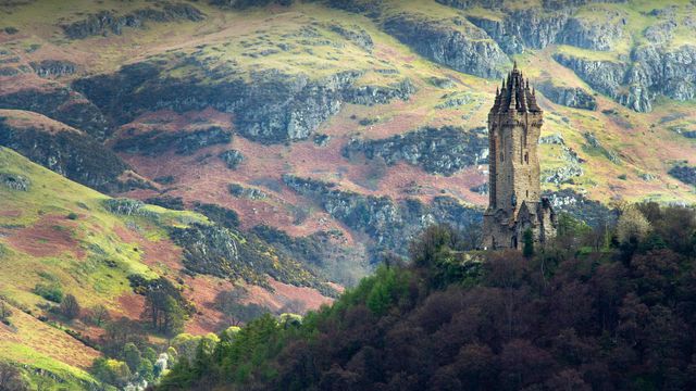 The National Wallace Monument overlooking Stirling in Scotland
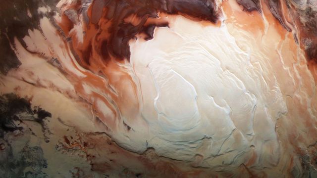 Mars Express image of the icy cap at Mars’ south pole
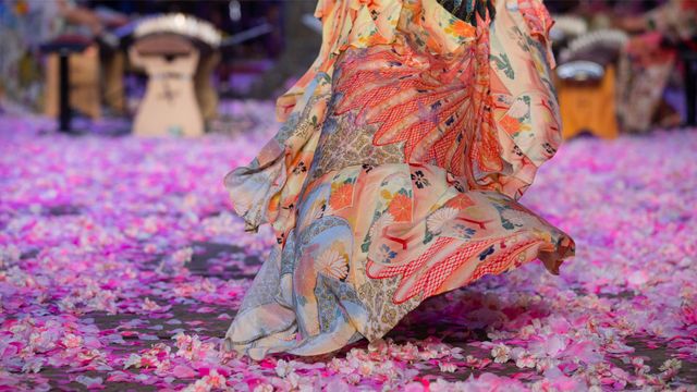 A model walks the runway during the Camilla show at Mercedes-Benz Fashion Week, 2018 in Sydney, Australia
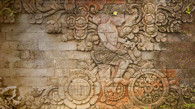 A carving of artist W.O.J. Nieuwenkamp in the Pura Meduwe Karang temple in Bali, Indonesia
Bing Today Images