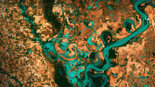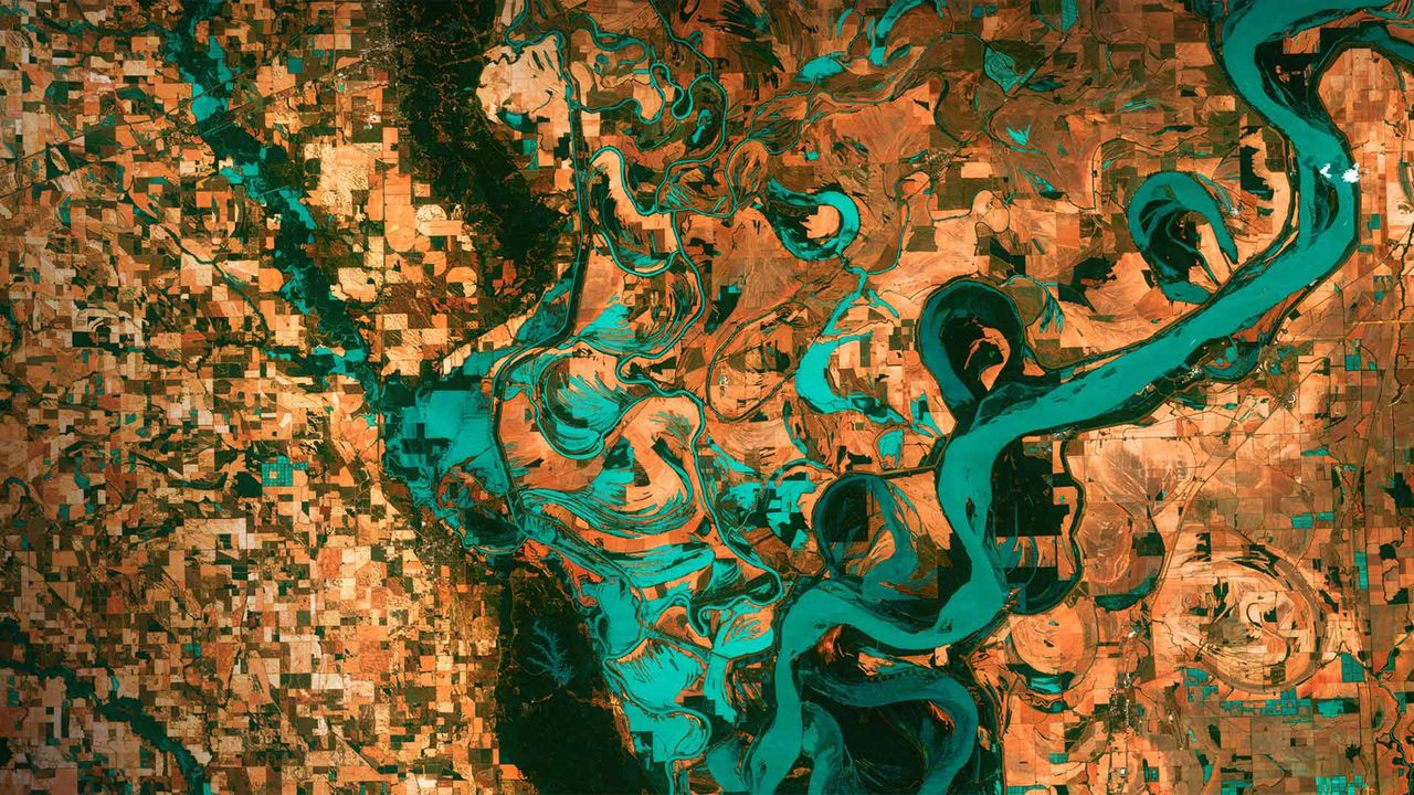
Mississippi River on the border between Arkansas and Mississippi, USA
© NAS
Info. Mississippi River on the border between Arkansas and Mississippi, USA
We are looking down on the border between Arkansas and Mississippi in the United States. This image was taken by a satellite, and those small, blocky shapes are towns and fields. The twisting blue-green colour is the Mississippi River, which is one of the longest and most famous rivers in the world. It flows over 3,700 kilometres and is so long that it takes 90 days for a drop of water to travel the whole length of the river. It runs through 10 states and has been a very important route for trade and travel for centuries.
Related Images
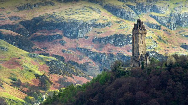 The National Wallace Monument overlooking Stirling in Scotland
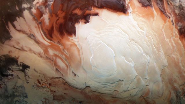 Mars Express image of the icy cap at Mars’ south pole
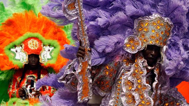 Members of the Wild Red Flame Mardi Gras Indians in New Orleans, Louisiana
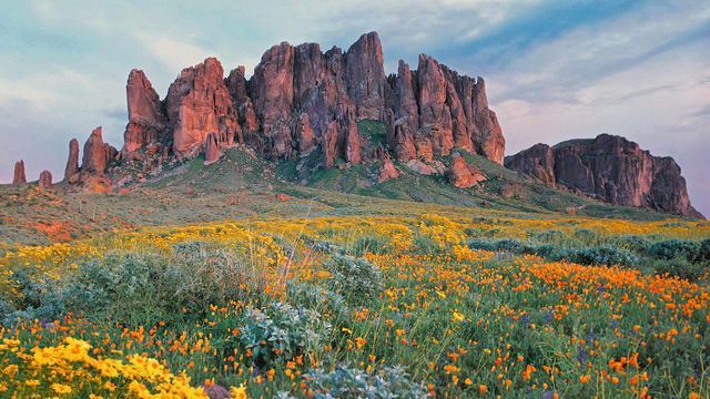 Wildflowers in bloom at Lost Dutchman State Park in Arizona
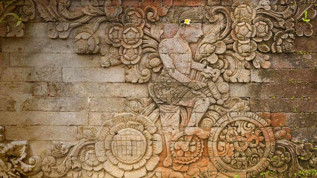 A carving of artist W.O.J. Nieuwenkamp in the Pura Meduwe Karang temple in Bali, Indonesia
 Street art from the Pasadena Chalk Festival 2013, Pasadena, California
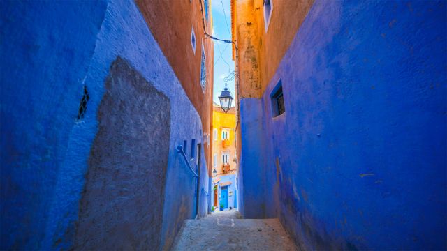 Blue walls of Chefchaouen, Morocco
 A model walks the runway during the Camilla show at Mercedes-Benz Fashion Week, 2018 in Sydney, Australia
Bing Today Images
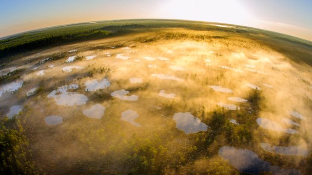
Alam-Pedja Nature Reserve in Tartu County, Estonia
Apr 22, 2026
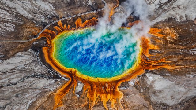

Green sea turtle, San Diego, California, USA
Apr 22, 2024

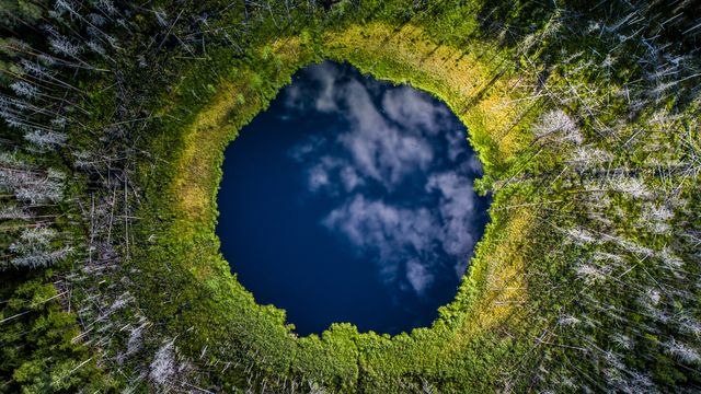
Karula National Park, Valgamaa County, Estonia
Apr 22, 2022
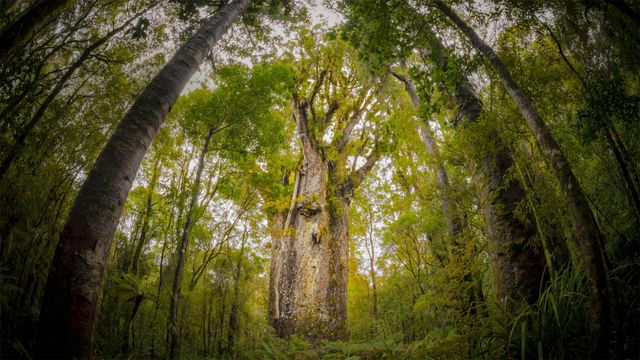

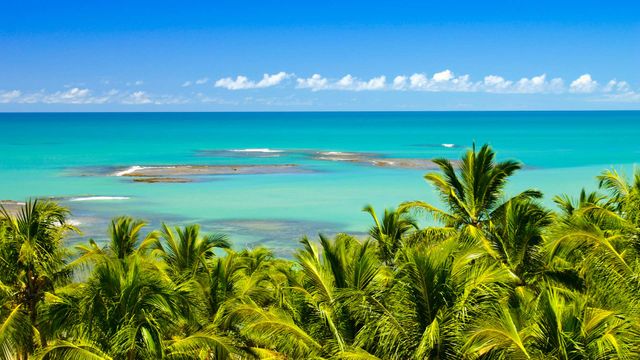
Mirror Beach near Trancoso in Bahia, Brazil
Apr 22, 2017
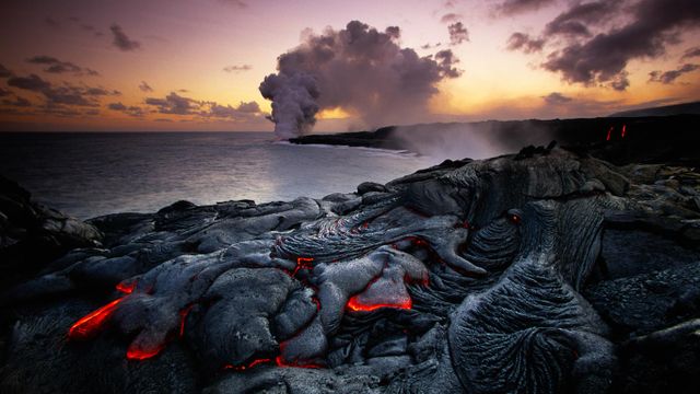
Kilauea erupting, Hawai’i Volcanoes National Park
Apr 22, 2016