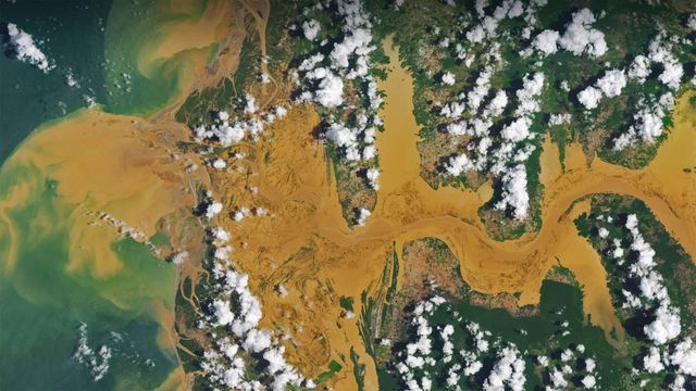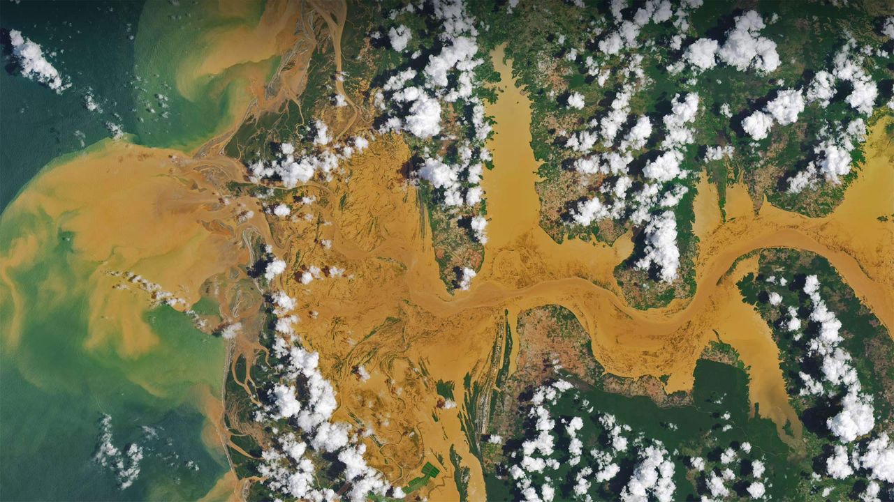
Satellite image of the Mania River in Madagascar
© NASA Earth Observatory image by Joshua Stevens, using Landsat data from the US Geological Surve
Info. Satellite image of the Mania River in Madagascar
A satellite view of the Mania River in Madagascar allows us to see a curious cloud pattern. It's common for cool, moist marine air to rise and form dense clouds over bodies of water, then for the clouds to evaporate as they drift over warmer, drier land. The opposite is happening here: Puffs of clouds are forming over land, but not over water. That's because Madagascar's tropical rainforests are warm and wet enough that evaporating moisture rises as the day heats up. When it rises high enough, the moisture meets cooler air, which condenses the water into clouds. In general, clouds will form where the air is rising, which in this case is only over the land. Above the river, the air is cooler and descending, so no clouds are forming there.
Related Images
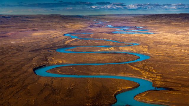 Cuenca del río Santa Cruz, Patagonia, Argentina
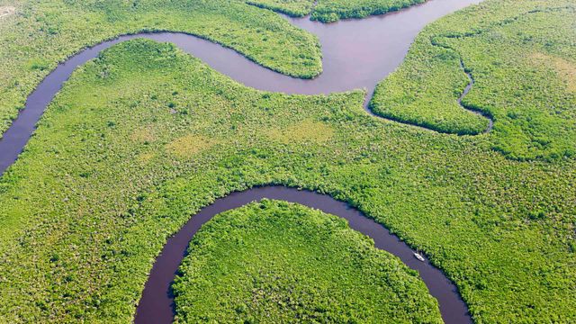 Vista aérea de la selva tropical y el río Daintree, Queensland, Australia
 Vista aérea del parque Superkilen, en Copenhague, Dinamarca
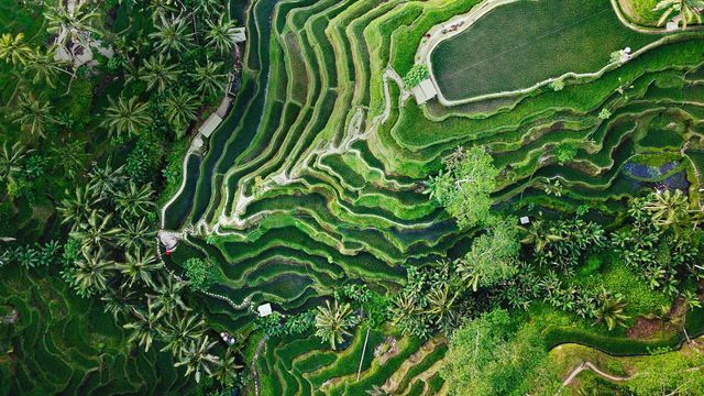 Terrazas de Tegallalang, en Ubud, isla de Bali, Indonesia
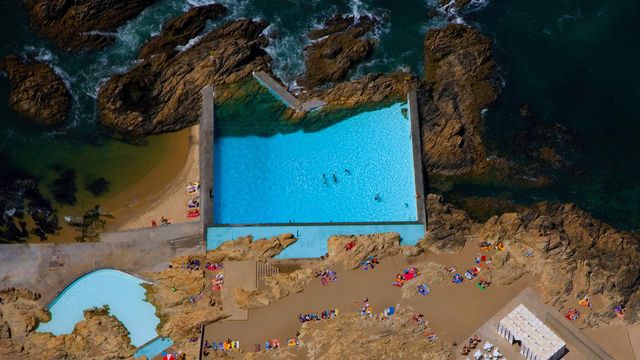 Las “Piscinas de las Mareas”
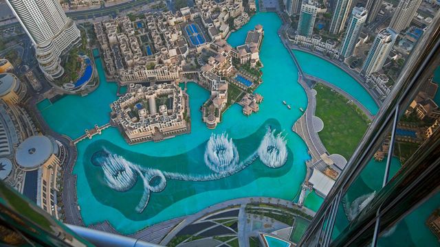 La Fuente de Dubái vista desde lo alto del Burj Khalifa, Dubái
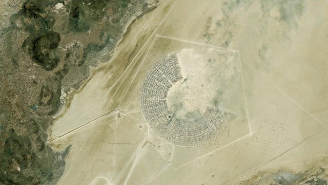 Imagen satélite del festival Burning Man, en Black Rock City, Nevada
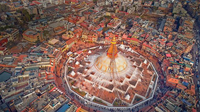 Vista aérea de la estupa de Boudhanath, Katmandú, Nepal
Bing Today Images