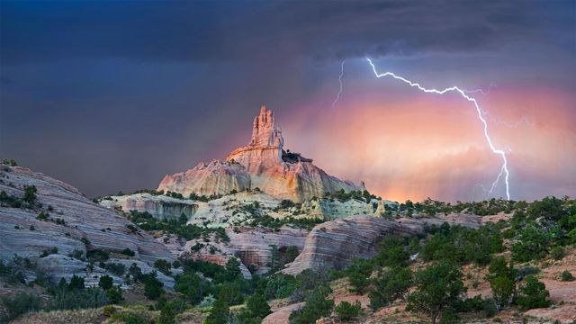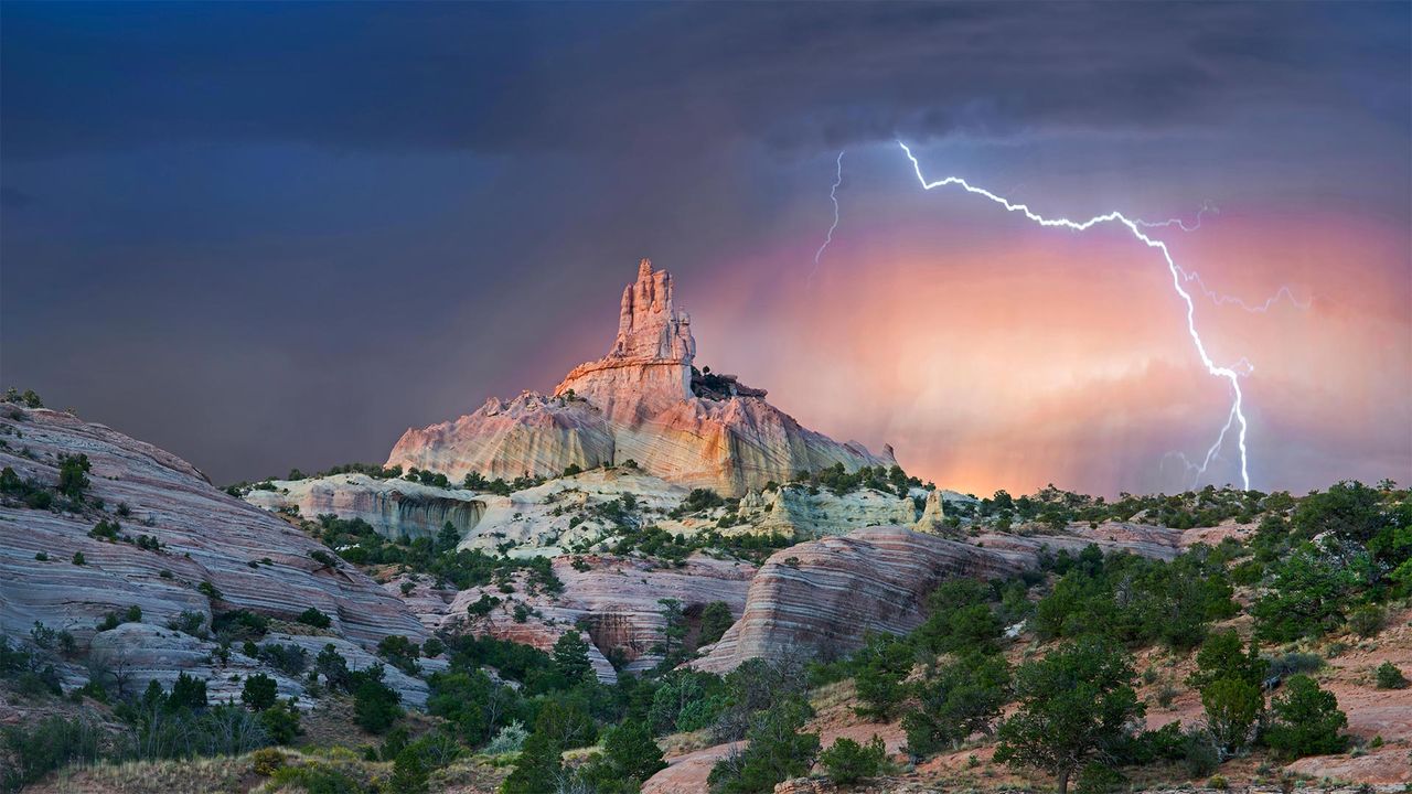
Lightning strikes near Church Rock, New Mexico
© Tim Fitzharris/Minden Picture
Struck by Southwestern beauty
It's okay if this stormy shot stirs your spirit with holy awe: They call this wind-carved edifice Church Rock for a reason. Surrounded by an enchanting Southwestern landscape, it's a sight that almost invites you to get lost out here—and if you look at a map of these parts, you'll see that's not too hard.
We're in the 'checkerboard' region of western New Mexico, where patchwork borders separate sovereign Navajo Nation grounds and private land from that administered by an alphabet soup of federal, state, and local agencies. (For its part, Church Rock was the crown jewel of a state park before it was returned to the Navajo in 1989, while the city of Gallup now maintains the nearby parkland.) Maybe it's simpler to think in terms of a more ancient boundary line: The Great Continental Divide, marking the border between North America's Atlantic- and Pacific-destined waters, crosses Route 66 just east of the checkerboard.
Related Images
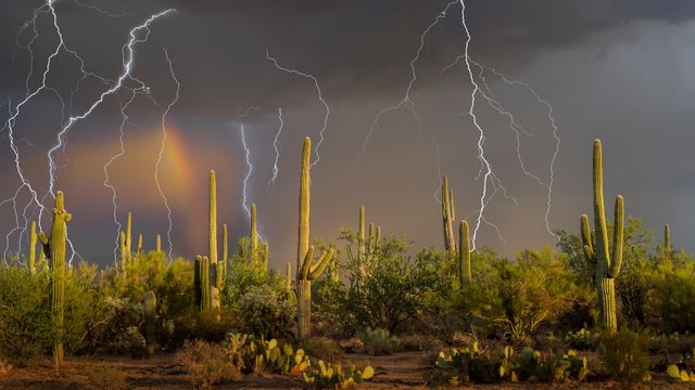 Lightning storm over saguaro cacti, Sonoran Desert, Arizona
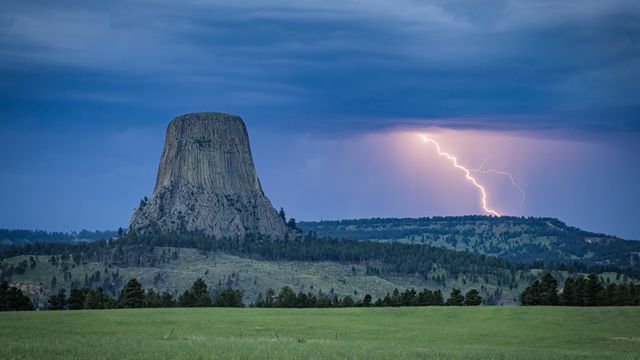 Devils Tower National Monument, Wyoming
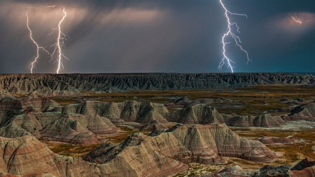 Rock formations in Badlands National Park during a lightning storm, South Dakota
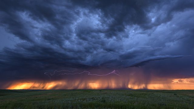 Lightning and storm clouds at sunset near Bowman, Nebraska
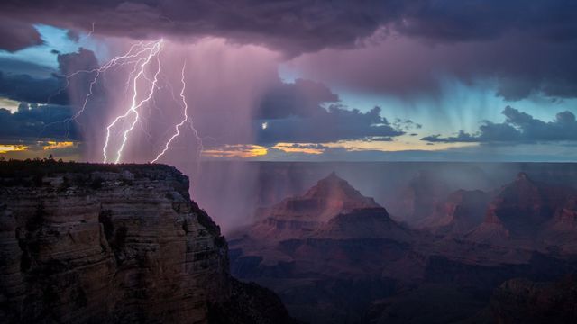 Grand Canyon National Park during a thunderstorm, Arizona
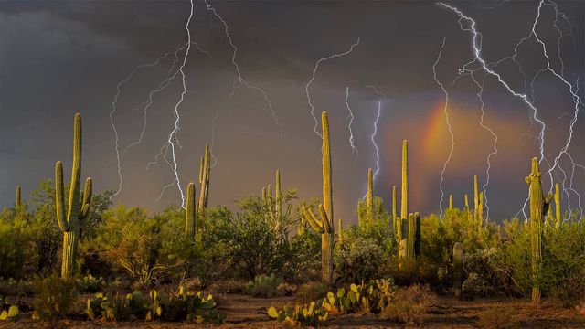 Lightning storm in the Tortolita Mountain foothills, north of Tucson, Arizona, in the Sonoran Desert
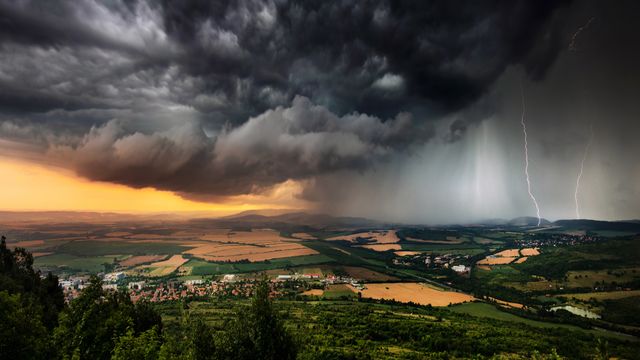 Thunderstorm above the plains, Bulgaria
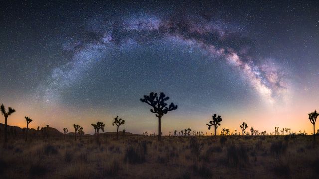 Joshua trees under the Milky Way, California
Bing Today Images