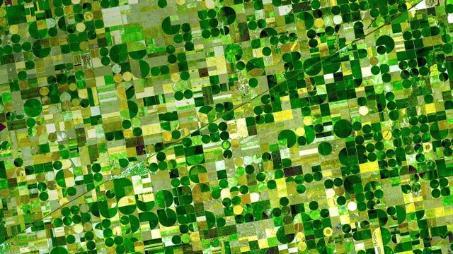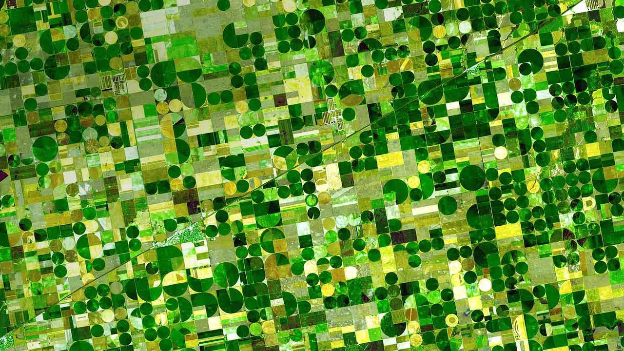
Farm plots in southwestern Kansas
© NASA/GSFC/METI/ERSDAC/JAROS, and U.S./Japan ASTER Science Team
Farm plots in southwestern Kansas
The ASTER (Advanced Spaceborne Thermal Emission and Reflection Radiometer) sensor is one of five imaging devices on NASA’s Terra satellite. ASTER captured this image of agricultural land in Finney County, Kansas, which shows corn, sorghum and wheat crops in various states of growth. Based on the time the photo was taken (June, 2001) the dark plots are probably corn, ripening faster than the lighter green sorghum fields. The gold spots are wheat, just about ready for harvest.
Related Images
 Advancetown lake and forest, Gold Coast, Queensland, Australia
 Royal Highland Fusiliers playing the bagpipes on top of the Sydney Opera House
 Memorial to the Murdered Jews of Europe in Berlin, Germany
 The Copper River Delta in Wrangell-St. Elias National Park and Preserve, Alaska
 Surfboards in a row
 The Lush Rainforest of Cathedral Grove, Macmillan Provincial Park, B.C.
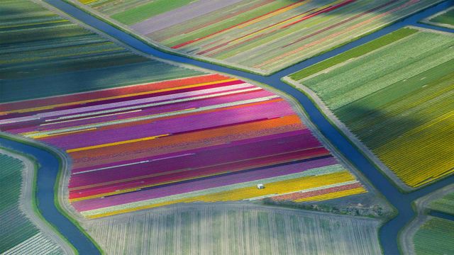 Dutch tulip fields in the Duin- en Bollenstreek region for the Amsterdam Tulip Festival
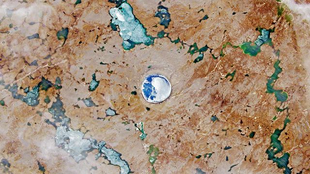 A satellite image of the Pingualuit asteroid impact crater in Quebec
Bing Today Images


Blue lagoon of Pulau Ay, Banda Islands, Indonesia
Jun 29, 2025
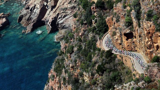
Cyclists in the 2013 Tour de France, Corsica, France
Jun 29, 2024

Banyak Islands, Sumatra, Indonesia
Jun 29, 2023


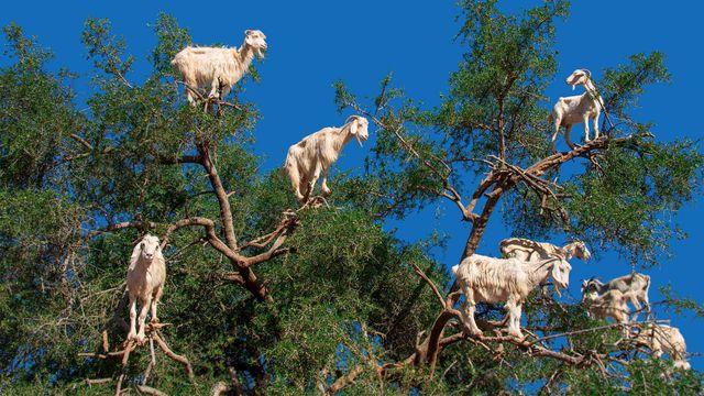
Goats in an argan tree near Essaouira, Morocco
Jun 29, 2020

Burrowing owlet posing in Cape Coral, Florida
Jun 29, 2019

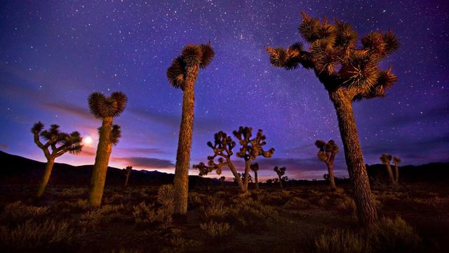
Joshua trees in Death Valley, California
Jun 29, 2017