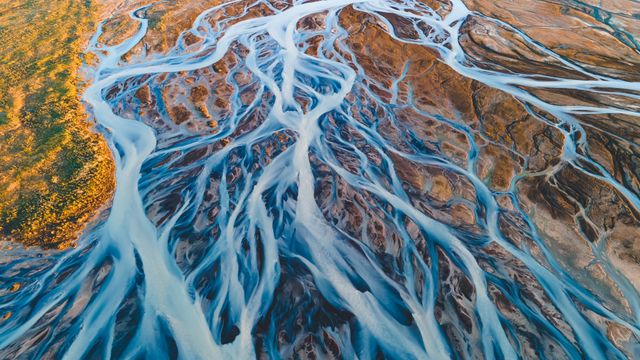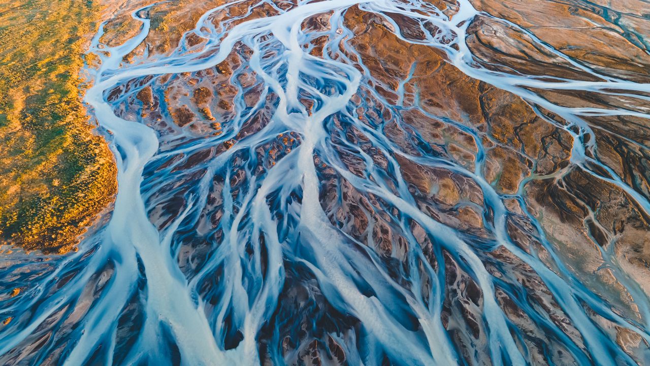
Aerial view of glacial rivers in Iceland
© rybarmarekk/Shutterstoc
From the land of fire and ice. Glacial rivers, Iceland
Glacial rivers in 'the land of fire and ice'—Iceland—have shaped the landscape over thousands of years. The rivers seen in today's image are formed from the meltwater of vast glaciers like Vatnajökull, Langjökull and Hofsjökull. Vatnajökull, the largest ice cap in Iceland, covers over 3,000 square miles—approximately 10% of the country's landmass. As the glaciers melt, the water carries fine sediments, creating a braided river system with a milky appearance that contrasts with the earthy tones of the volcanic terrain. Every spring and summer, the rivers swell with seasonal meltwater, continually shaping and reshaping the land. Aerial views reveal their intricate patterns, resembling complex artworks that interweave across the terrain toward the North Atlantic Ocean. The water in Iceland is more than just a beautiful sight; it plays a significant role in renewable energy. Its flow powers hydroelectric power stations, reinforcing Iceland's status as a leader in sustainable energy.
Related Images
 Mars Express image of the icy cap at Mars’ south pole
 Arches National Park, Moab, Utah, USA
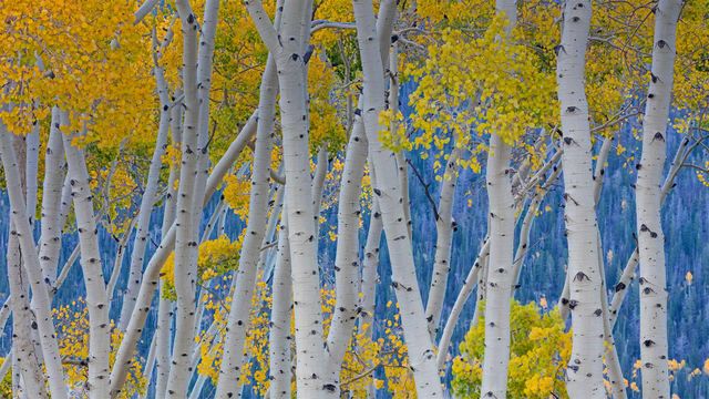 The Pando, Fishlake National Forest, Utah, USA
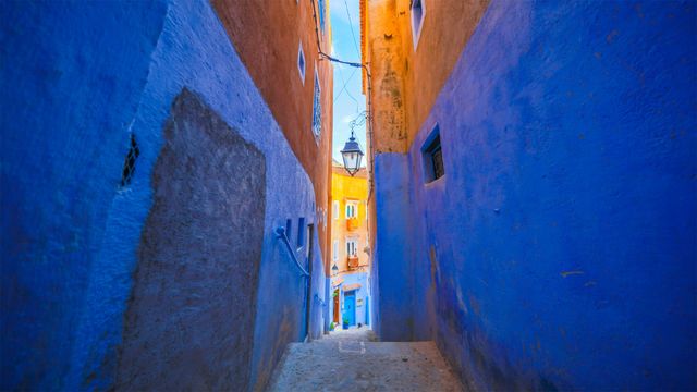 Blue walls of Chefchaouen, Morocco
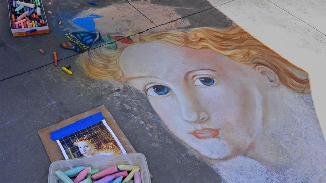 Street art from the 2013 Pasadena Chalk Festival, California, USA
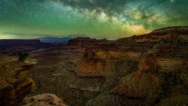 The Milky Way seen from Canyonlands National Park in Utah, USA
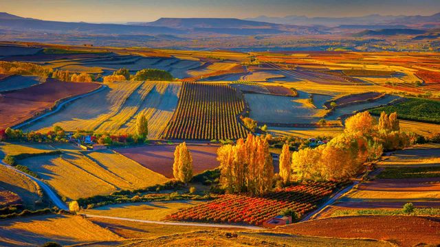 Autumnal landscape near the town of Clavijo in Spain's Rioja district
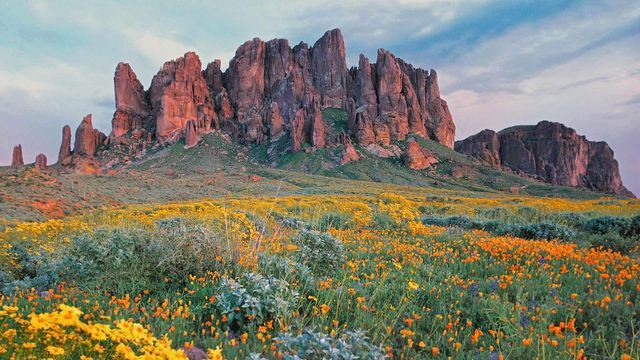 Wildflowers in bloom at Lost Dutchman State Park in Arizona, USA
Bing Today Images