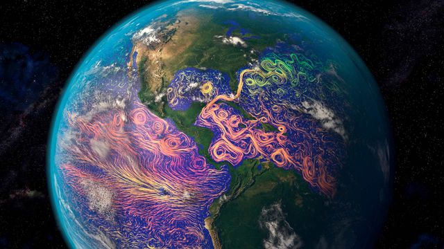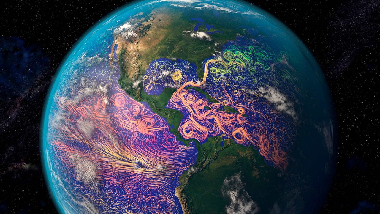
Satellite-based graphic showing ocean currents off the Americas
© Karsten Schneider/Science Photo Library
Satellite-based graphic showing ocean currents off the Americas
It’s easy to think of satellites as technology for observing the realms beyond our planet. But many satellites turn their data-gathering instruments back toward home. That’s how this ocean-currents map was created. The purple and pink swirls represent warmer ocean currents, while the blue and green are cooler currents. Maps like this aid in weather forecasting, determining the temperature of our oceans, and long-term analysis of the oceans’ health.
Related Images
 Millennium Bridge with St. Paul's Cathedral in the background, London, England
 A Brandt's cormorant hunts for a meal in a school of Pacific chub mackerel beneath an oil rig off the coast of Los Angeles, California
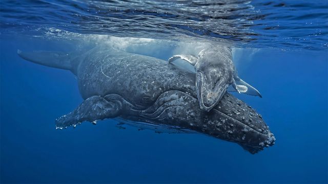 Young humpback whale giving its mother a hug off the coast of the Tongan archipelago
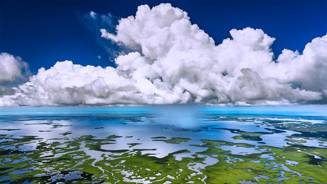 Aerial view of Everglades National Park, Florida
 Grizzly bear cub relaxing, Cook Inlet, Chinitna Bay, Lake Clark National Park and Preserve, Alaska
 Male mountain bluebird in Yellowstone National Park, Wyoming
 Blue walls of Chefchaouen, Morocco
 The Freedom Wall at the World War II Memorial in Washington, DC
Bing Today Images

Vernazza, Cinque Terre, Liguria, Italy
Jun 09, 2026

Old City of Dubrovnik in Dalmatia, Croatia
Jun 09, 2025


Hot air balloons in Cappadocia, Türkiye
Jun 09, 2023

Sweetheart Abbey, Dumfries and Galloway, Scotland
Jun 09, 2022

Annular eclipse over New Mexico, May 20, 2012
Jun 09, 2021




Ice pillars in a cave at Durmitor, Montenegro
Jun 09, 2016