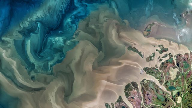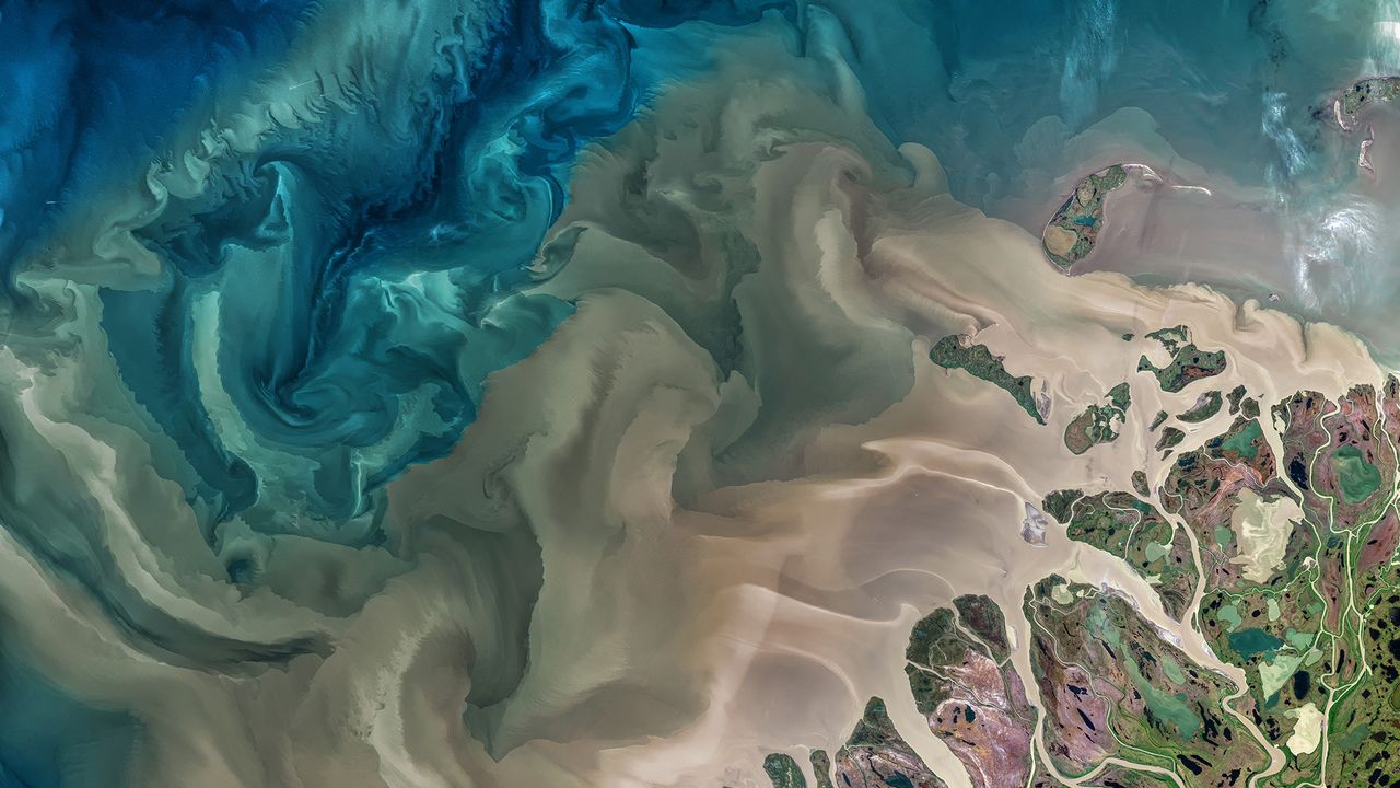
Mackenzie River, Canada, and Beaufort Sea
© Norman Kuring, GSFC/NASA/USGS Landsa
Info. The Mackenzie River in Canada emptying into the Beaufort Sea
Today’s photo, taken by NASA’s Landsat 8 satellite, shows part of the Mackenzie River delta and the river’s turbid waters as they flow from the far north of Canada and Alaska into the Beaufort Sea in the Arctic Ocean. The Mackenzie River – the longest river in Canada – plays a vital role in the Arctic climate as warmer fresh water mixes with colder seawater.
Related Images
 Vista aérea de la estupa de Boudhanath, Katmandú, Nepal
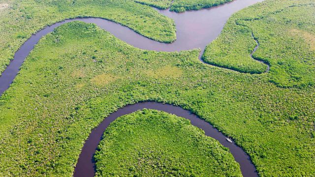 Vista aérea de la selva tropical y el río Daintree, Queensland, Australia
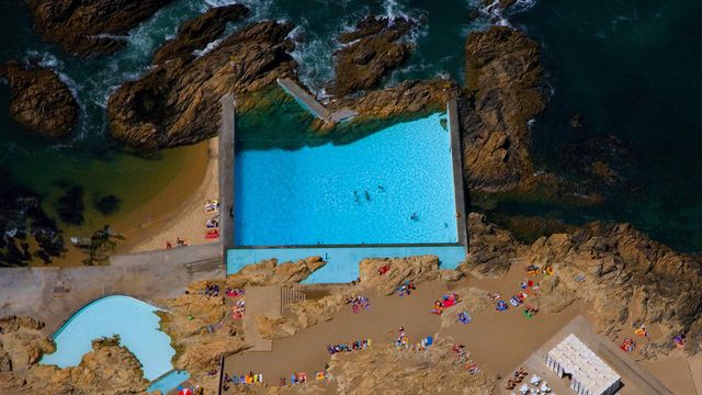 Las “Piscinas de las Mareas”
 Terrazas de Tegallalang, en Ubud, isla de Bali, Indonesia
 Vista aérea del parque Superkilen, en Copenhague, Dinamarca
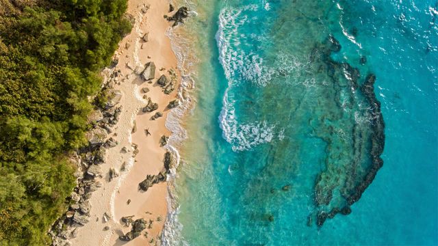 Vista aérea de Marley Beach, archipiélago de las Bermudas
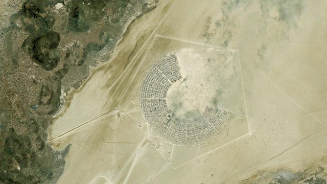 Imagen satélite del festival Burning Man, en Black Rock City, Nevada
 La Fuente de Dubái vista desde lo alto del Burj Khalifa, Dubái
Bing Today Images





Pando, en el bosque Fishlake, Utah
Sep 26, 2019