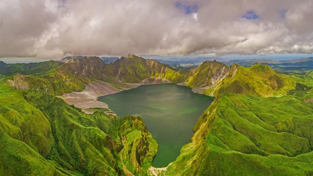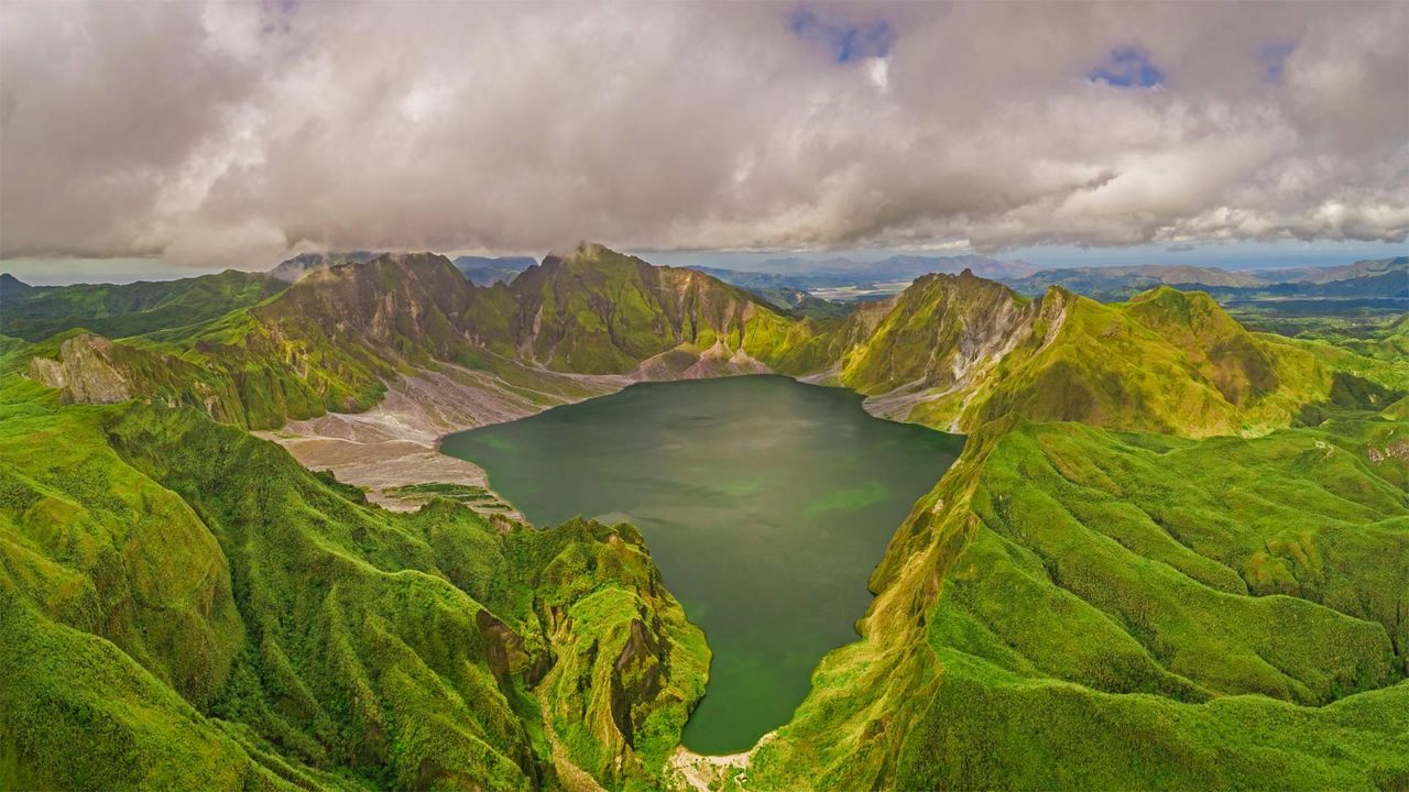
Aerial view of volcanic Lake Pinatubo and mountains, Porac, Philippines
© Amazing Aerial Agency/Offset by Shutterstoc
Are you older than this lake?
If you were born before summer 1991, the answer is yes. Before 30 years ago, Lake Pinatubo was just a rumble in Mount Pinatubo's magma-filled belly. But here, on the Philippines’ main island of Luzon, there was a calamitous eruption on 15 June 1991 - one of the 20th century's most powerful. It destroyed Pinatubo's original summit and formed a vast crater, which gradually filled with water as greenery reclaimed the summit.
Located about 50 miles from the Philippines' capital of Manila, the crater was a niche destination for hardy hikers, requiring days of travel to reach. More recently, a 4x4 road and tended hiking trail were added, reducing the rugged journey to a day trip.
Related Images
 Glastonbury Tor and St Michael's Tower for the start of the Glastonbury Festival
 Rio Grande and Sierra del Carmen mountains in Big Bend National Park, Texas, USA
 Rajgad Fort near Pune, India
 The village of Aguerd Oudad and the larger town of Tafraout in Morocco
 The Llangattock Escarpment in the Brecon Beacons National Park, Powys, Wales
 Full moon rising over Dunnottar Castle near Stonehaven on the north-east coast of Scotland
 The Skellig Islands, Skellig Michael and Little Skellig, in Ireland
 Hope Valley in the Peak District
Bing Today Images





Great Smoky Mountains National Park, Tennessee, USA
Jun 15, 2022




Crowns engine house in Botallack, Cornwall
Jun 15, 2017

Gare do Oriente in Lisbon, Portugal
Jun 15, 2016