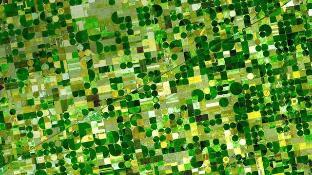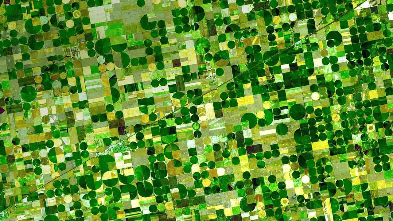
Farm plots in southwestern Kansas
© NASA/GSFC/METI/ERSDAC/JAROS, and U.S./Japan ASTER Science Team
Farm plots in southwestern Kansas
The ASTER (Advanced Spaceborne Thermal Emission and Reflection Radiometer) sensor is one of five imaging devices on NASA’s Terra satellite. ASTER captured this image of agricultural land in Finney County, Kansas, which shows corn, sorghum and wheat crops in various states of growth. Based on the time the photo was taken (June, 2001) the dark plots are probably corn, ripening faster than the lighter green sorghum fields. The gold spots are wheat, just about ready for harvest.
Related Images
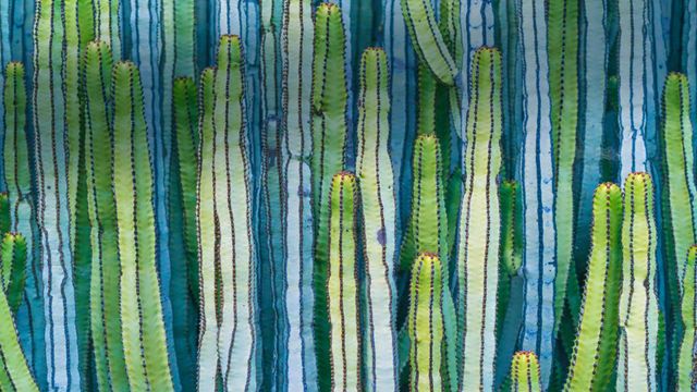 Mexican giant cardon cactus
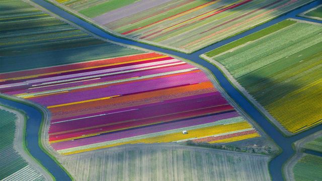 Dutch tulip fields in the Duin- en Bollenstreek region for the Amsterdam Tulip Festival
 France players in a huddle prior to their semi-final match against Spain at the Fifa U-20 Women's World Cup
 Royal Highland Fusiliers playing the bagpipes on top of the Sydney Opera House
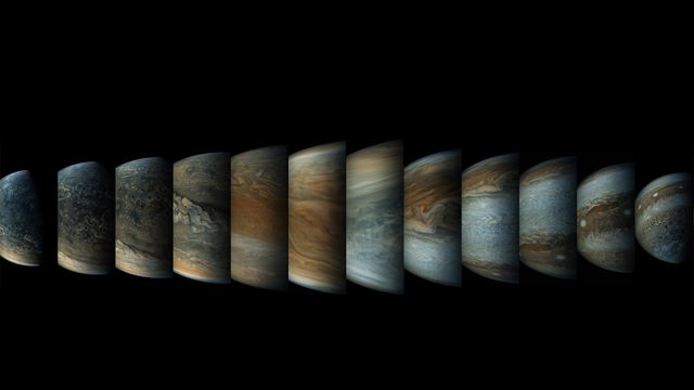 Sequence of enhanced-colour images of Jupiter
 Surfboards in a row
 The Copper River Delta in Wrangell-St. Elias National Park and Preserve, Alaska, USA
 A red maple leaf in Mont-Saint-Bruno Conservation Park, Quebec, Canada
Bing Today Images


Blue lagoon of Pulau Ay, Banda Islands, Indonesia
Jun 29, 2025


Banyak Islands, Sumatra, Indonesia
Jun 29, 2023


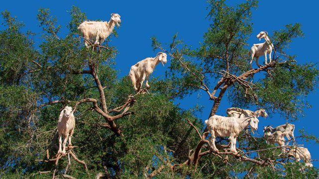
Goats in an argan tree near Essaouira, Morocco
Jun 29, 2020

Burrowing owlet posing in Cape Coral, Florida, USA
Jun 29, 2019


A boardwalk in Norddorf on Amrum Island, Germany
Jun 29, 2017