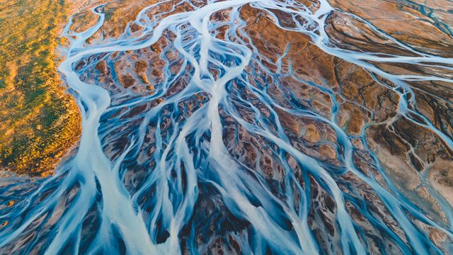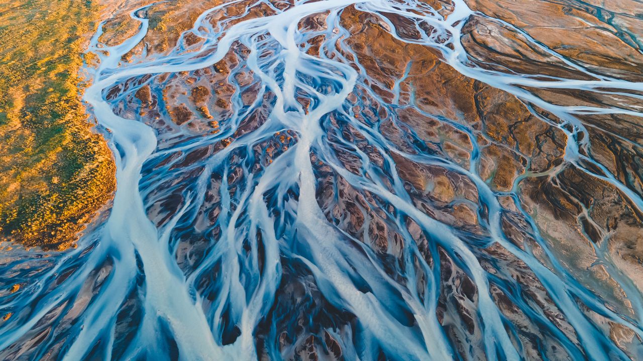
Aerial view of glacial rivers in Iceland
© rybarmarekk/Shutterstoc
From the land of fire and ice. Glacial rivers in Iceland
Iceland's glacial rivers have shaped the landscape here in the land of fire and ice over thousands of years. The rivers seen in today's image are formed from the meltwater of vast glaciers like Vatnajökull, Langjökull, and Hofsjökull. Vatnajökull, the largest ice cap in Iceland, covers over 3,000 square miles—approximately 10% of the country's landmass. As the glaciers melt, the water carries fine sediments, creating a braided river system with a milky appearance that contrasts with the earthy tones of the volcanic terrain. Every spring and summer, the rivers swell with seasonal meltwater, continually shaping and reshaping the land. Aerial views reveal their intricate patterns, interwoven across the terrain toward the North Atlantic Ocean. The water also powers hydroelectric power stations, reinforcing Iceland's status as a leader in sustainable energy.
Related Images
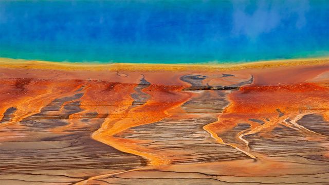 The Grand Prismatic Spring in Yellowstone National Park, Wyoming
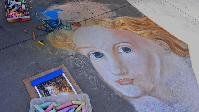 Street art from the Pasadena Chalk Festival 2013, California
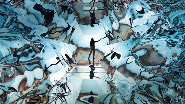 Artist Laura Buckley with her mixed-media sculpture 'Fata Morgana,' Saatchi Gallery, London
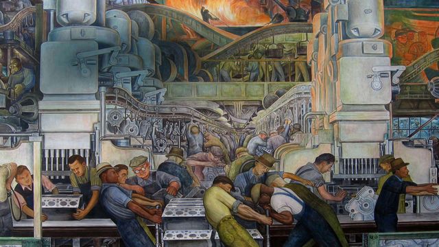 A Diego Rivera painting to celebrate Labor Day
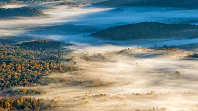 View of Pisgah National Forest near Brevard, North Carolina
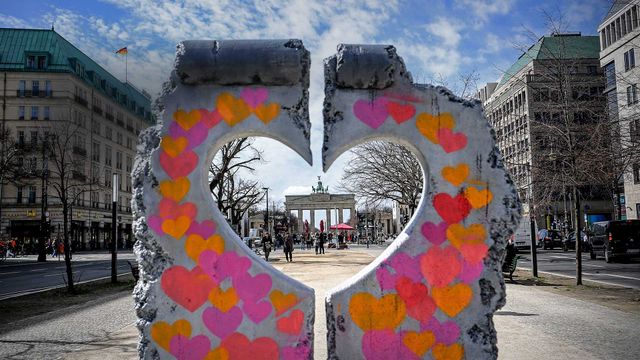 The Brandenburg Gate seen through a heart-shaped replica of a remnant of the Berlin Wall
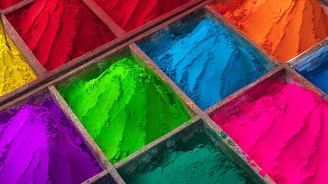 Brightly colored powder for sale during Holi
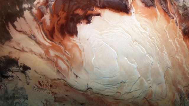 Mars Express image of the icy cap at Mars’ south pole
Bing Today Images