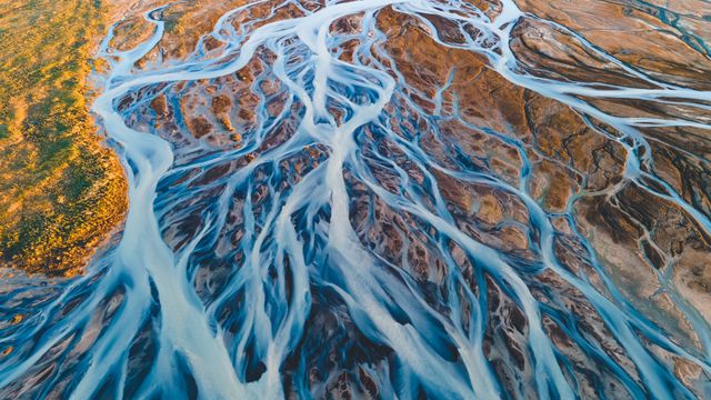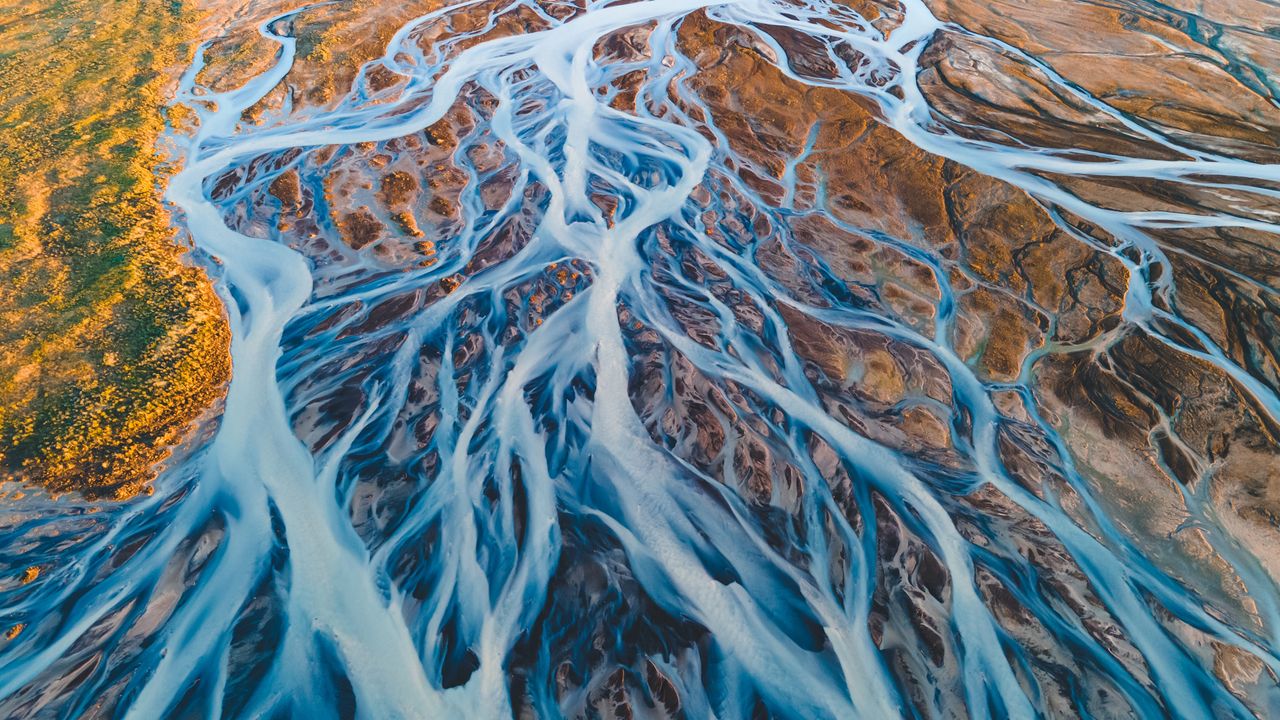
Aerial view of glacial rivers in Iceland
© rybarmarekk/Shutterstoc
From the land of fire and ice. Glacial rivers, Iceland
Glacial rivers in 'the land of fire and ice'—Iceland—have shaped the landscape over thousands of years. The rivers seen in today's image are formed from the meltwater of vast glaciers like Vatnajökull, Langjökull and Hofsjökull. Vatnajökull, the largest ice cap in Iceland, covers over 7,500 square kilometres—approximately 10% of the country's landmass. As the glaciers melt, the water carries fine sediments, creating a braided river system with a milky appearance that contrasts with the earthy tones of the volcanic terrain. Every spring and summer, the rivers swell with seasonal meltwater, continually shaping and reshaping the land. Aerial views reveal their intricate patterns, resembling complex artworks that interweave across the terrain toward the North Atlantic Ocean. The water in Iceland is more than just a beautiful sight; it plays a significant role in renewable energy. Its flow powers hydroelectric power stations, reinforcing Iceland's status as a leader in sustainable energy.
Related Images
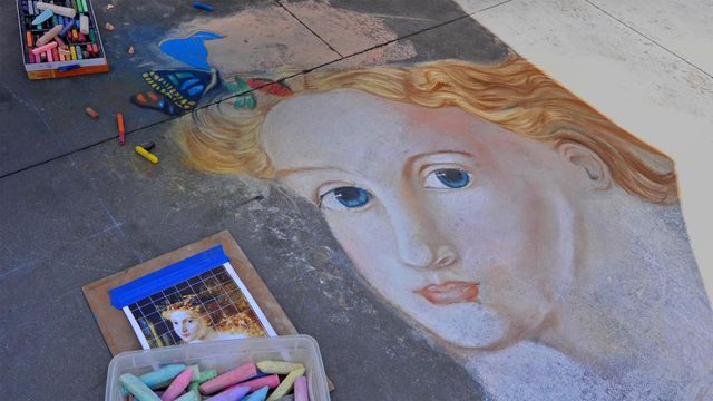 Street art from the Pasadena Chalk Festival 2013, Pasadena, California
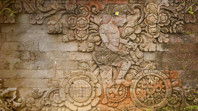 A carving of artist W.O.J. Nieuwenkamp in the Pura Meduwe Karang temple in Bali, Indonesia
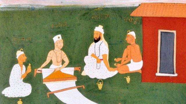 Kabir with Namdeva, Raidas and Pipaji. Jaipur, early 19th century
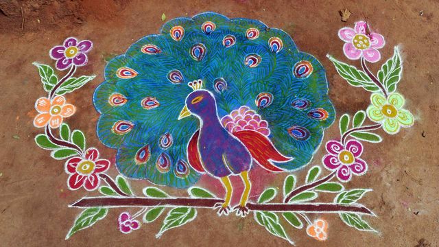 Pongal kolam in Tamil Nadu
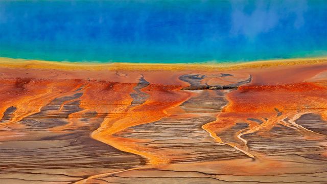 The Grand Prismatic Spring in Yellowstone National Park, Wyoming, USA
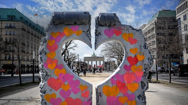 The Brandenburg Gate seen through a heart-shaped replica of the Berlin Wall
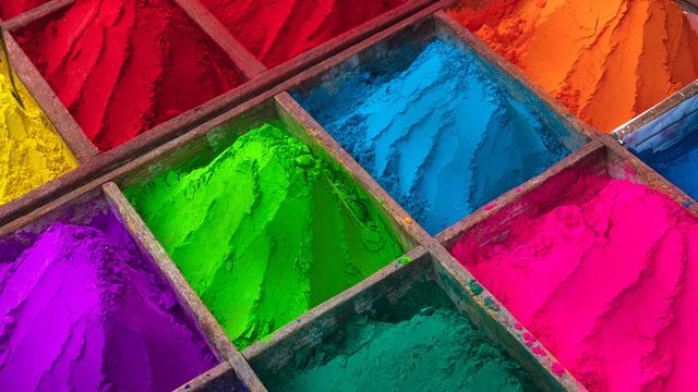 Brightly-coloured powder for sale during Holi season
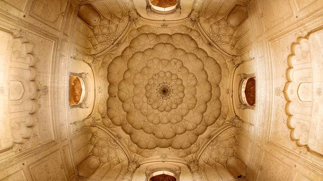 Detail of ceiling of Safdarjung's Tomb, Delhi
Bing Today Images