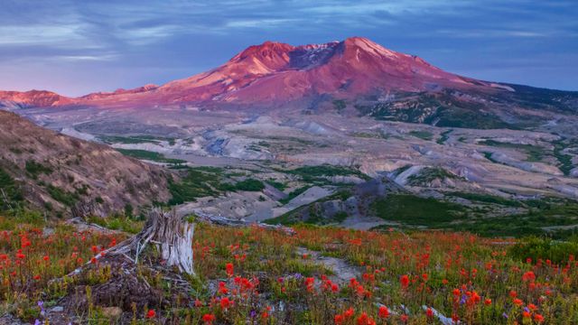
Boundary Trail in Mount St. Helens National Volcanic Monument, Washington
© Don Geyer/Alam
The recovery continues. Mount St. Helens National Volcanic Monument, Washington
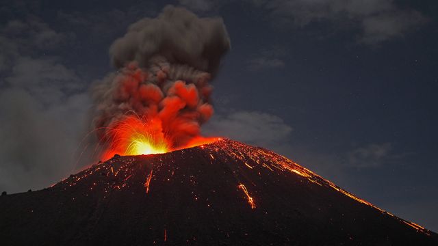
We're standing on the Boundary Trail at Johnston Ridge in the Mount St. Helens National Volcanic Monument. This view of the volcano shows how the eruption of Mount St. Helens on May 18, 1980, ripped apart the once-conical summit, forever changing the Washington landscape. Forty years ago today, 110,000 acres within Gifford Pinchot National Forest were set aside to memorialize the deadliest and most destructive volcanic eruption in the United States.
President Ronald Reagan established the monument to preserve the area for research, recreation, and education. Left to recover naturally from the eruption, the land has been open to recreational users since 1986. Though scientists believe that Mount St. Helens will erupt again sometime in the next few centuries, hikers and climbers are undeterred.
Related Images
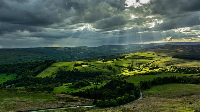 Hope Valley, Peak District, England
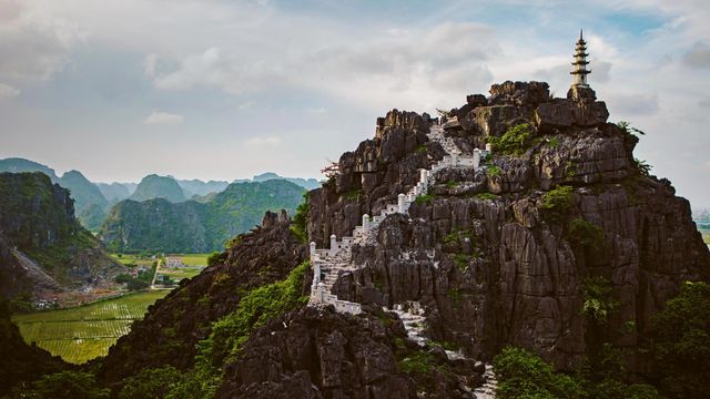 Mua Caves in the Ninh Bình province of Vietnam
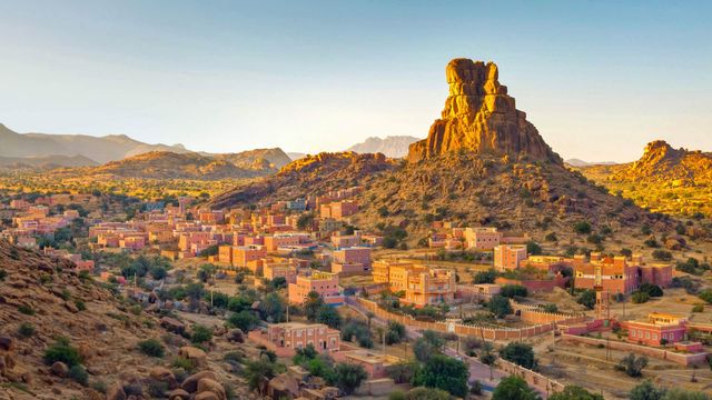 The village of Aguerd Oudad and the larger town of Tafraout in Morocco
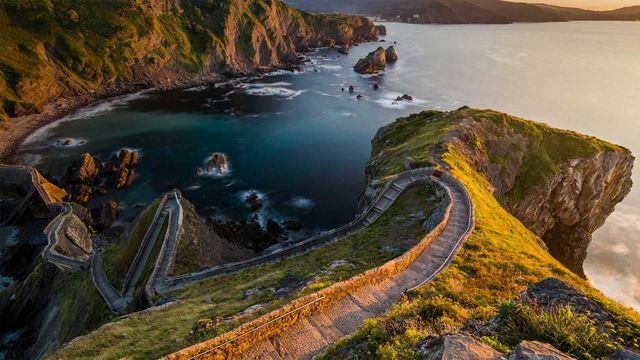 Path to San Juan de Gaztelugatxe, Basque Country, Spain, for the 'Game of Thrones' premiere
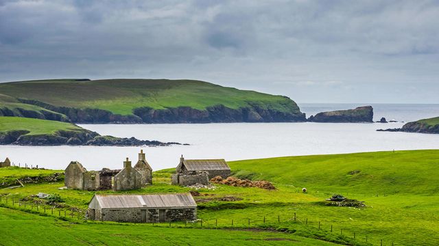 An old farm in the Shetland Islands, Scotland
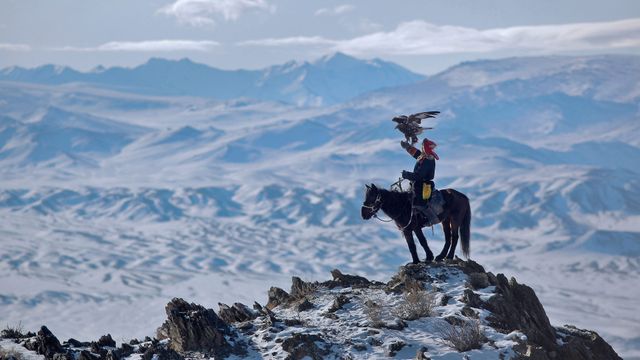 A rider hunts with an eagle in the Altai Mountains of Mongolia
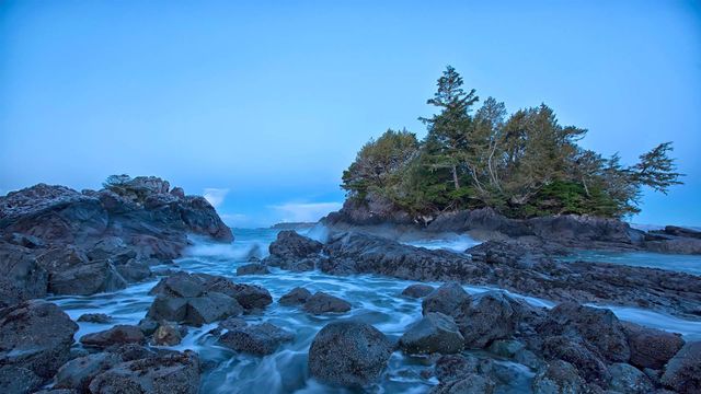 Shoreline near Tofino on Vancouver Island, British Columbia, Canada
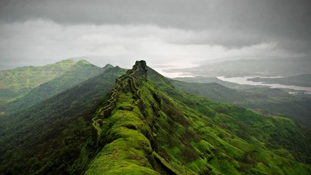 Rajgad Fort near Pune, India
Bing Today Images