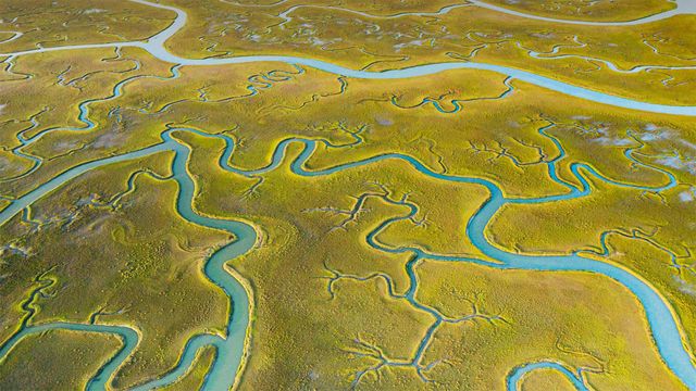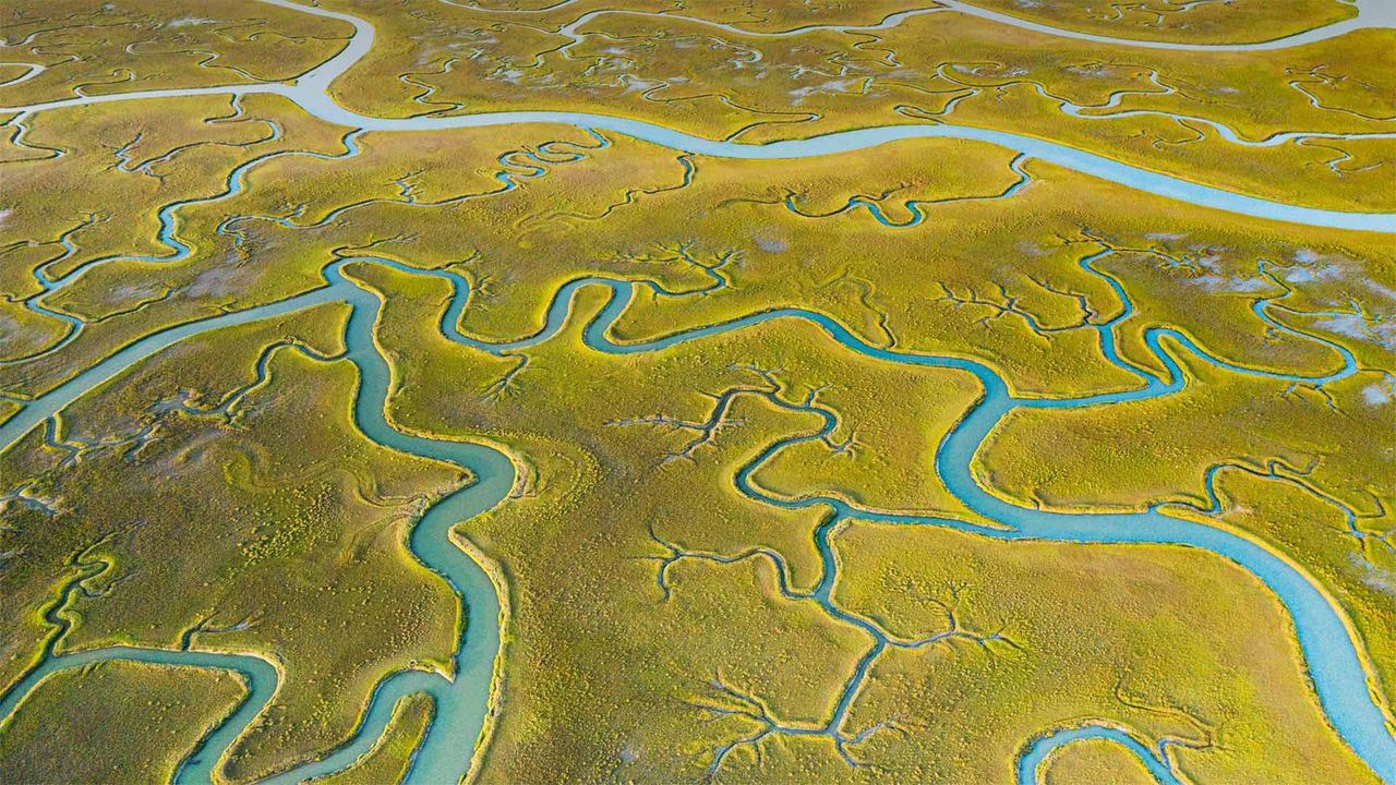
Aerial view of tidal channels in marshland of the Mockhorn Island State Wildlife Management Area, Virginia, USA
© Shane Gross/Minden Picture
Tidal tendrils
From the air, this view of Mockhorn Island on the USA’s east coast could be mistaken for farmland. But what you're looking at is rugged tidal marshland, visible only when the tide is out. For the rest of the time, much of this area is underwater. Mockhorn is itself part of a coastal island chain off the US state of Virginia called the Barrier Islands, which run down its east coast for about 70 miles. The green vegetation you see is grass, although not the type you mow. It's saltmarsh cordgrass, a type of perennial deciduous species that grows in wetlands and salt marshes like this one.
The only way to access the tidal channels of Mockhorn Island is by boat, and plenty of kayakers, hunters and people fishing are willing to brave the fickle, windy weather to enjoy the island's labyrinth of swamps, bays and inlets. The area is also a great destination for bird watchers, as many species fly directly overhead while migrating. Historically, the rugged terrain and remote location of the Barrier Islands made them a great place for those running from the authorities. It's said that pirates, including Blackbeard himself, spent time hiding in the backwaters of this rugged coast.
Related Images
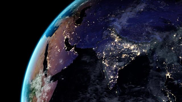 Artificial light from Earth
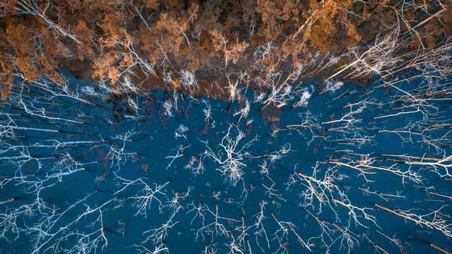 Advancetown Lake on the Gold Coast, Queensland, Australia
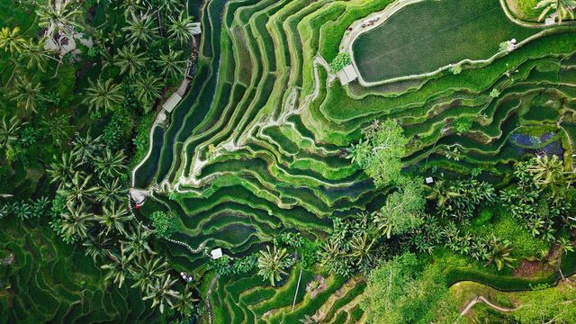 Tegallalang terrace farms in Ubud, Bali, Indonesia
 Aerial view of Superkilen Park in Norrebro district in Copenhagen, Denmark
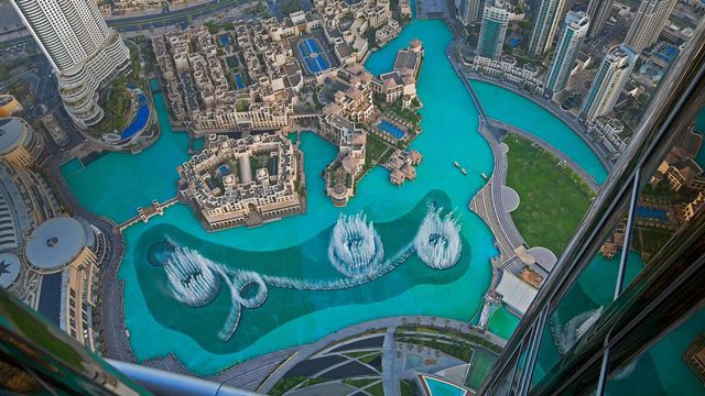 The Dubai Fountain in Burj Lake taken from the Burj Khalifa in Dubai
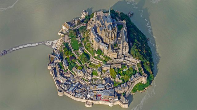 Mont Saint-Michel for its annual marathon
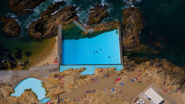 Tidal pools of Leça da Palmeira, Portugal
 Aerial view of Boudhanath stupa in Kathmandu, Nepal
Bing Today Images