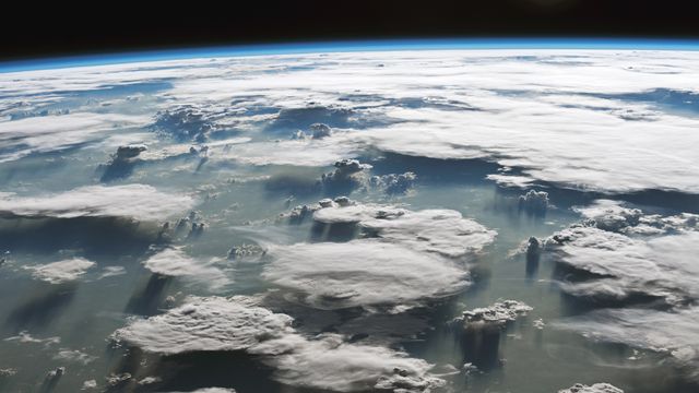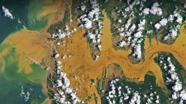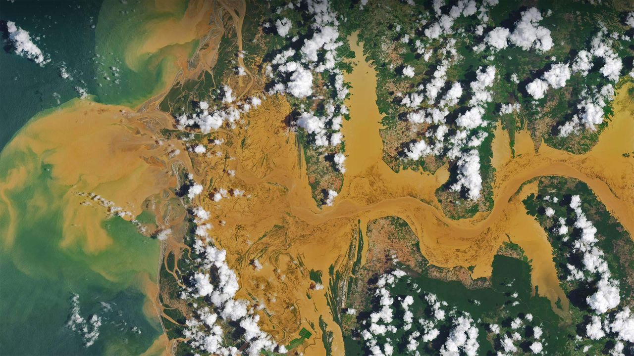
Satellite image of the Mania River in Madagascar
© NASA Earth Observatory image by Joshua Stevens, using Landsat data from the US Geological Surve
Info. Satellite image of the Mania River in Madagascar
A satellite view of the Mania River in Madagascar allows us to see a curious cloud pattern. It's common for cool, moist marine air to rise and form dense clouds over bodies of water, then for the clouds to evaporate as they drift over warmer, drier land. The opposite is happening here: Puffs of clouds are forming over land, but not over water. That's because Madagascar's tropical rainforests are warm and wet enough that evaporating moisture rises as the day heats up. When it rises high enough, the moisture meets cooler air, which condenses the water into clouds. In general, clouds will form where the air is rising, which in this case is only over the land. Above the river, the air is cooler and descending, so no clouds are forming there.
Related Images
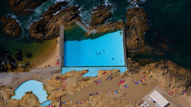 Tidal pools of Leça da Palmeira, Portugal
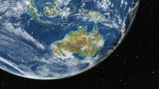 True-colour image of Earth from Landsat satellites
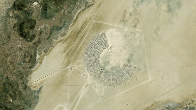 Satellite image of the Burning Man Festival in Black Rock City, Nevada
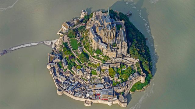 Mont Saint-Michel for its annual marathon
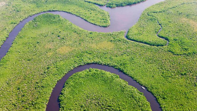 Aerial view of rainforest and Daintree River, Australia
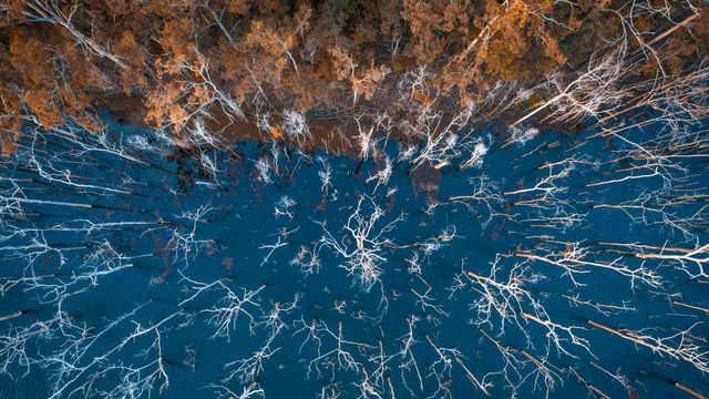 Advancetown lake and forest, Gold Coast, Queensland, Australia
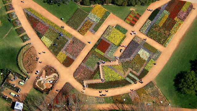 Tourists walk on pathways through a flowerbed design known as ‘The Australian Billabong’ at the Floriade flower festival in Canberra
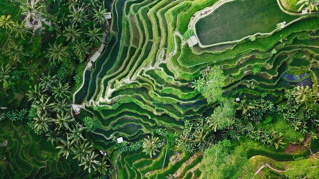 Tegallalang terrace farms in Ubud, Bali, Indonesia
Bing Today Images