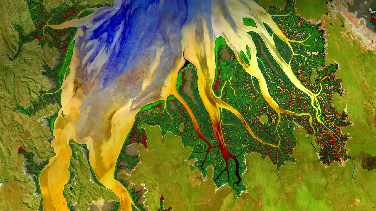
Cambridge Gulf and estuary in Western Australia photographed by Landsat 8 satellite
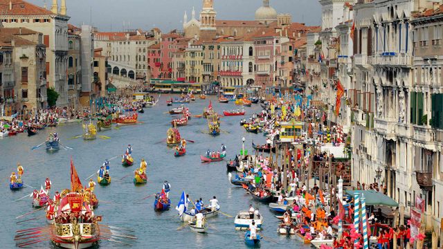
© World History Archive/Alam
Cambridge Gulf and estuary in Western Australia photographed by Landsat 8 satellite
At least five major rivers, and many smaller flows, empty into the estuary at Cambridge Gulf on the northern shore of Western Australia. This image is a composite taken from the Landsat 8 satellite. The water, land, and estuary flows were separated out, enhanced to highlight concentrations of nutrients and vegetation, and reassembled.
Related Images
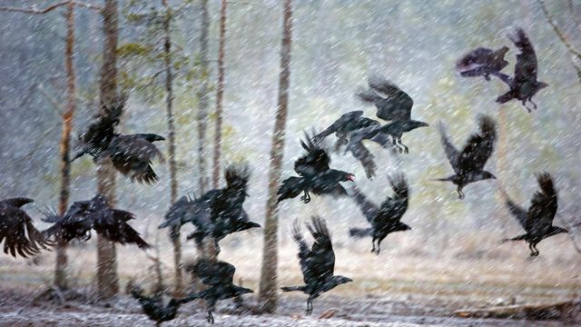 Ravens in a snowstorm near Kuhmo, Finland
 ‘Strolling the Biltmore,’ a painting by visually impaired artist Jeff Hanson
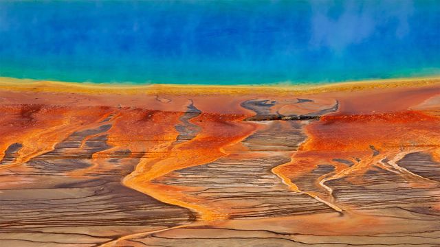 The Grand Prismatic Spring in Yellowstone National Park, Wyoming
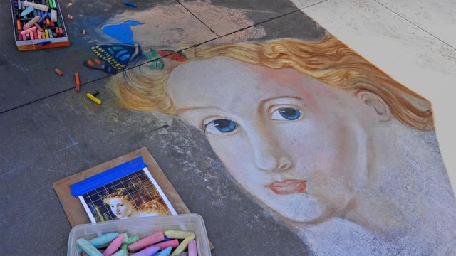 Street art from the Pasadena Chalk Festival 2013, California
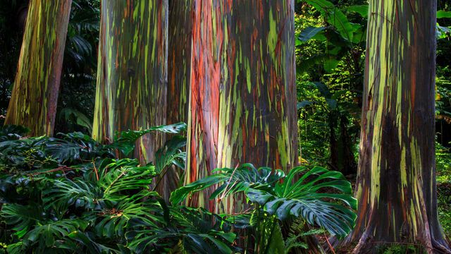 Rainbow eucalyptus trees along the Hana Highway, Maui, Hawaii
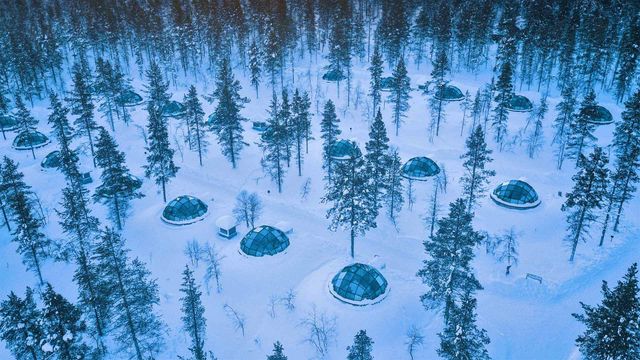 Glass igloos at the Kakslauttanen Arctic Resort in Saariselkä, Finland
 Brightly colored powder for sale during Holi
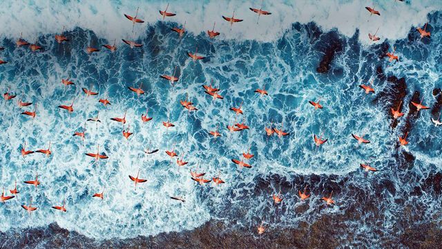 Aerial view of American flamingos flying over Los Roques Archipelago National Park, Venezuela
Bing Today Images

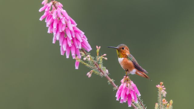
Allen's hummingbird, Santa Cruz, California
Sep 02, 2023
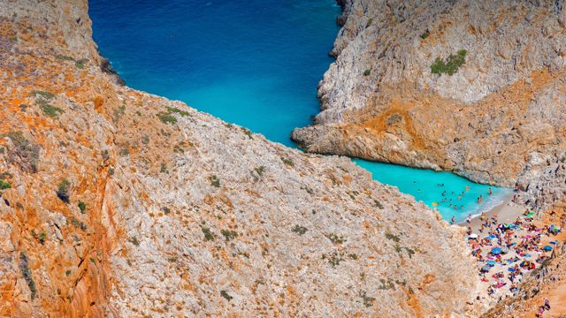
Seitan Limania Beach in Crete, Greece
Sep 02, 2022
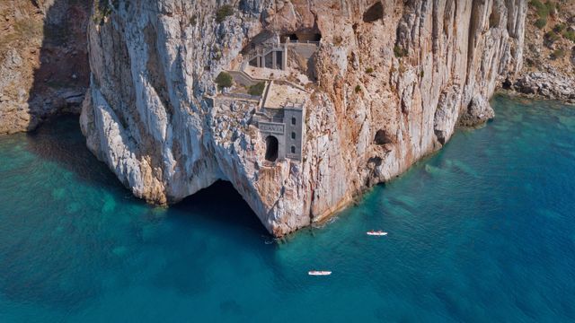
Porto Flavia, Sardinia, Italy
Sep 02, 2021
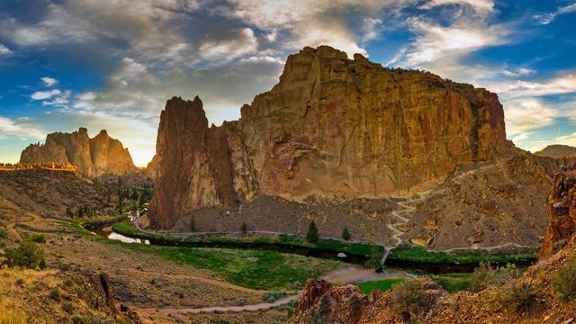
Smith Rock State Park, Oregon
Sep 02, 2020

A Diego Rivera painting to celebrate Labor Day
Sep 02, 2019