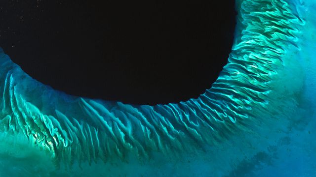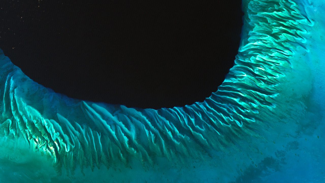
Satellite image of sand and seaweed in the Bahamas
© Serge Andrefouet/University of South Florida/NASA
Satellite image of sand and seaweed in the Bahamas
We have NASA’s Landsat program to thank for this rare view of the Atlantic Ocean in the Bahamas, as captured by satellite. The patterns you see are sand and seaweed beds that have been sculpted by ocean currents. That dark spot? It’s called the Tongue of the Ocean. The tongue is a deep, dark trench that separates the islands of Andros and New Providence in the Bahamas and connects to a larger geological feature known as the Great Bahama Canyon.
Related Images
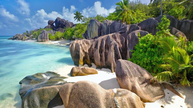 La Digue, an island in the Seychelles
 Sandhill cranes taking flight over the Platte River near Kearney, Nebraska
 Japanese crane in Hokkaido, Japan
 Snowy owl
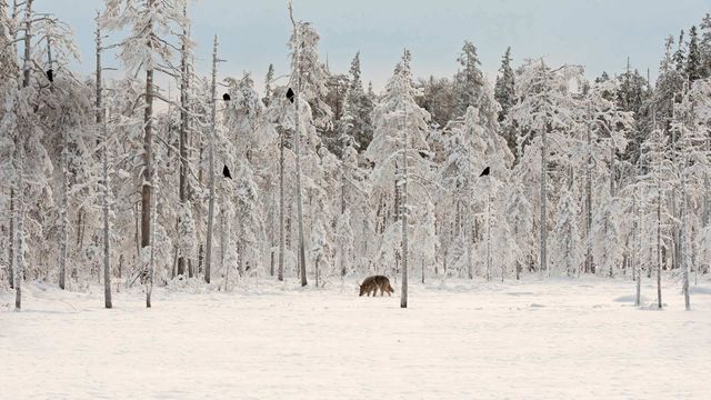 Gray wolf with flock of ravens in Finland
 Eurasian lynx in the Bohemian-Moravian Highlands of the Czech Republic
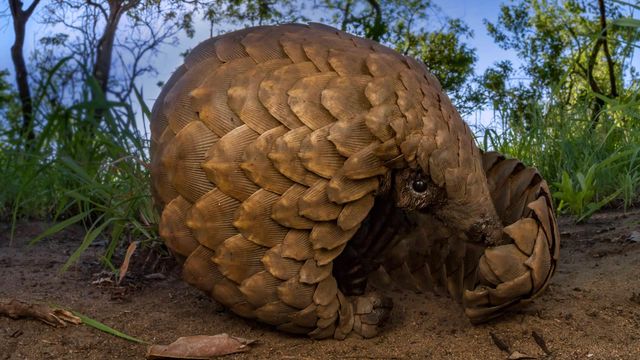 Ground pangolin at Gorongosa National Park, Mozambique
 Hoary marmot in Denali National Park, Alaska
Bing Today Images
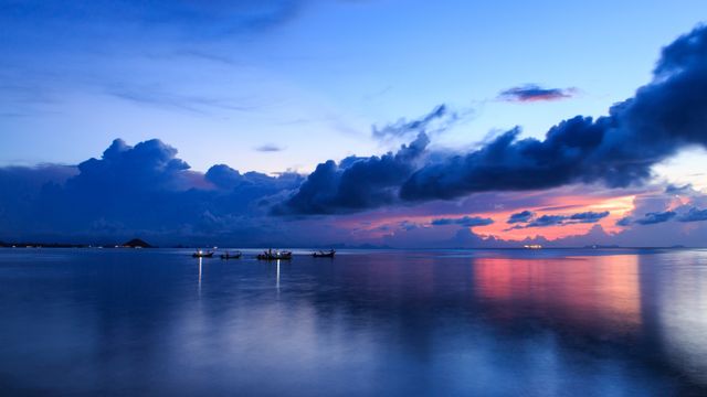
Harbor and longtail boats at Ko Samui, Thailand
Mar 02, 2026

Modica, Sicily, Italy
Mar 02, 2024
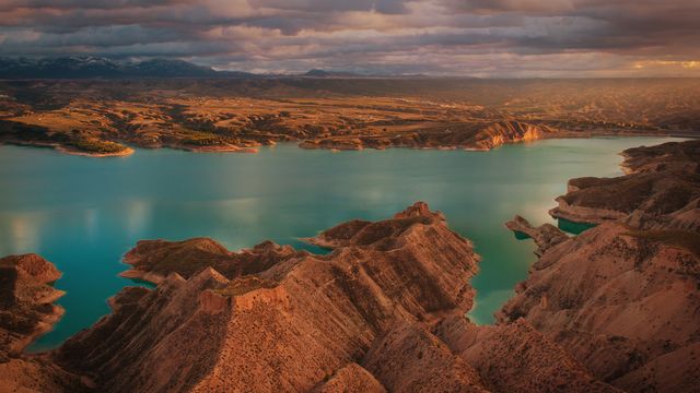
Negratín Reservoir, Granada, Spain
Mar 02, 2023

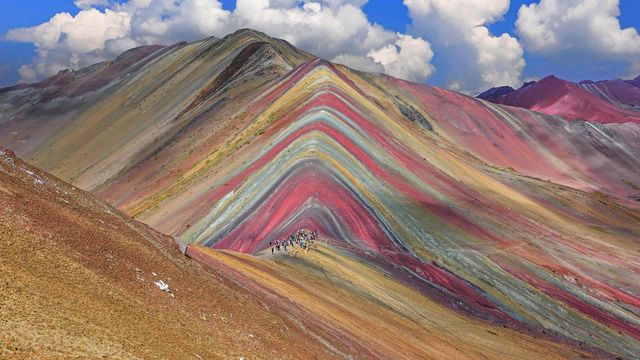
Vinicunca Mountain in the Cusco Region of Peru
Mar 02, 2019
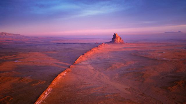
Shiprock in the Navajo Nation of New Mexico
Mar 02, 2017