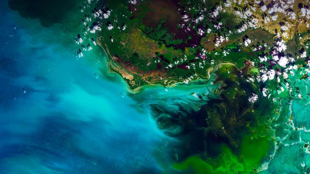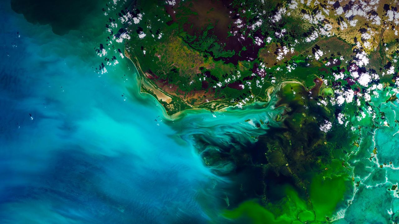
Satellite view of Everglades National Park, Florida, USA
© Satellite Earth Art/Aurora Photos
Satellite view of Everglades National Park, Florida, USA
You’re looking at a satellite view of Florida’s Everglades, the largest subtropical wilderness in the United States. It’s not a static wetland, but rather a ‘river of grass’, a slow-moving river 60 miles wide and 100 miles long. Keep zooming in and you’ll likely see mangrove trees, tropical birds and an alligator or two. Among the myriad interesting things about this unique and fragile ecosystem – it’s the only place in the world where American alligators and American crocodiles co-exist. How do you tell the difference between the two? Well, you see one later and the other after a while. (See what we did there?)
Related Images
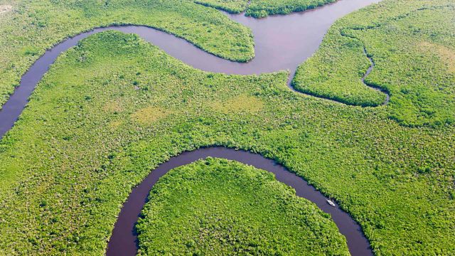 Aerial view of rainforest and Daintree River, Australia
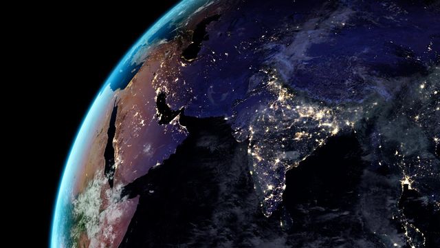 Earth at night
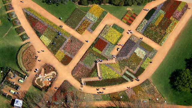 Tourists walk on pathways through a flowerbed design known as ‘The Australian Billabong’ at the Floriade flower festival in Canberra
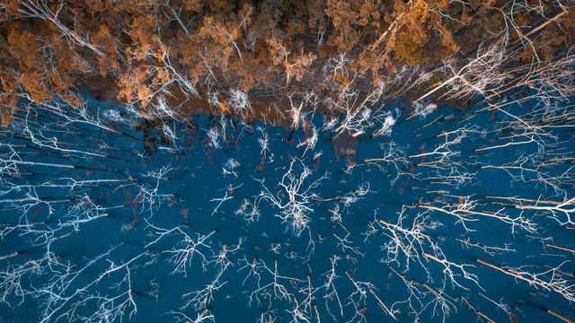 Advancetown lake and forest, Gold Coast, Queensland, Australia
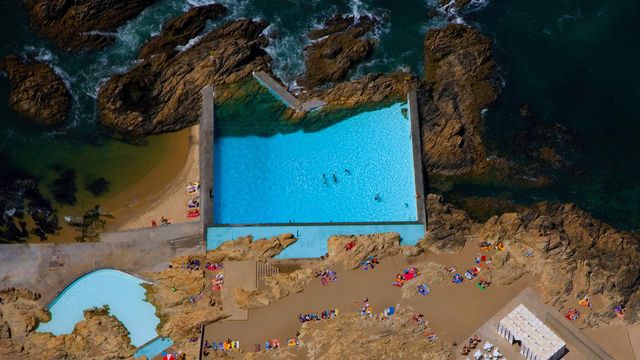 Tidal pools of Leça da Palmeira, Portugal
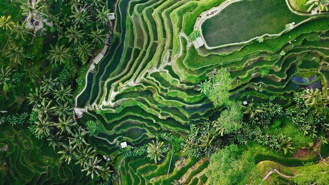 Tegallalang terrace farms in Ubud, Bali, Indonesia
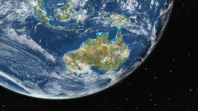 True-colour image of Earth from Landsat satellites
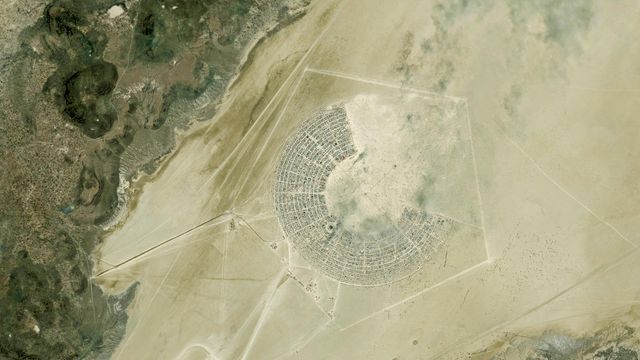 Satellite image of the Burning Man Festival in Black Rock City, Nevada
Bing Today Images
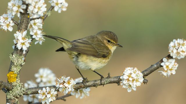
Common chiffchaff, Germany
Apr 23, 2026


Library of Trinity College Dublin, Ireland
Apr 23, 2024

Sunrise over misty lavender fields, India
Apr 23, 2023
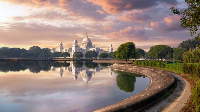
Victoria Memorial, Kolkata, India
Apr 23, 2022
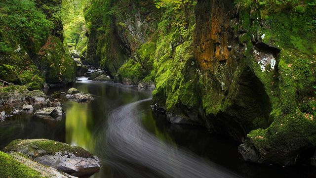
Fairy Glen, Betws-y-Coed, Wales, United Kingdom
Apr 23, 2021


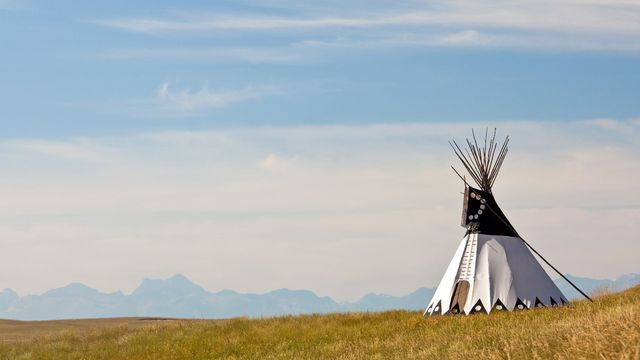
A tepee in southern Alberta, Canada
Apr 23, 2017