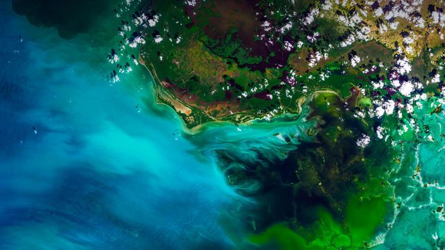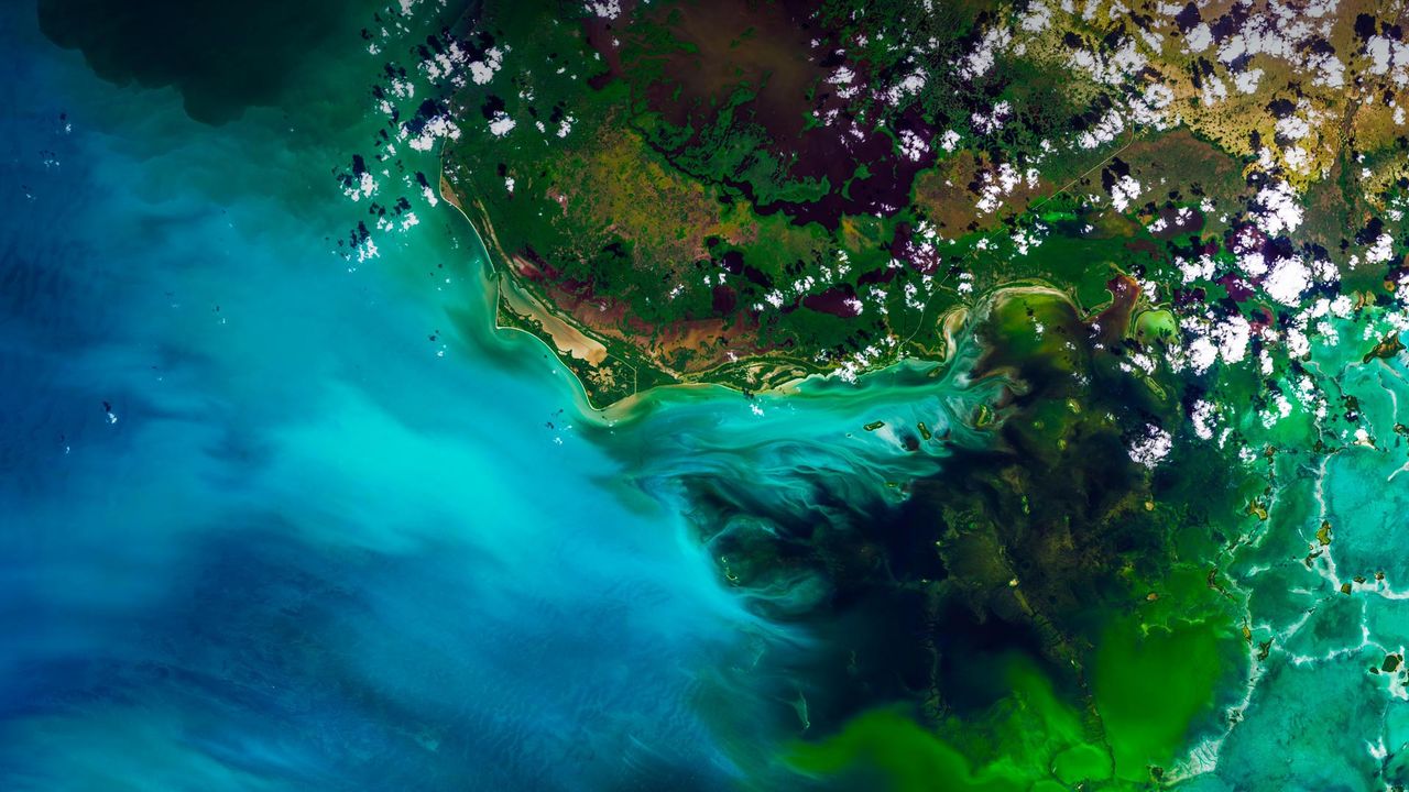
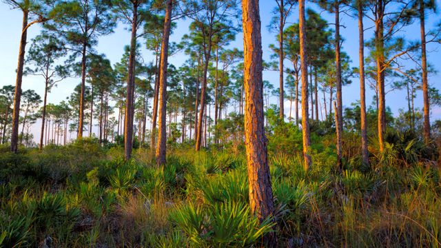
Satellite view of Everglades National Park, Florida
© Satellite Earth Art/Aurora Photos
Satellite view of Everglades National Park, Florida
You’re looking at a satellite view of Florida’s Everglades, the largest subtropical wilderness in the US. It’s not a static wetland, but rather a ‘river of grass,’ a slow-moving river 60 miles wide and 100 miles long. Keep zooming in and you’ll likely see sawgrass marshes, mangrove trees, tropical birds, and a gator or two. Among the myriad interesting things about this unique and fragile ecosystem—it’s the only place in the world where American alligators and American crocodiles co-exist. How do you tell the difference between the two? Well, you see one later and the other after a while. (See what we did there?)
Related Images
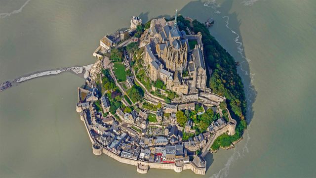 Mont Saint-Michel, France, for its annual marathon
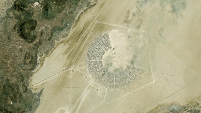 Satellite image of the Burning Man festival in Black Rock City, Nevada
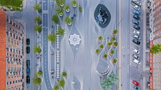 Aerial view of Superkilen, a park in Copenhagen, Denmark
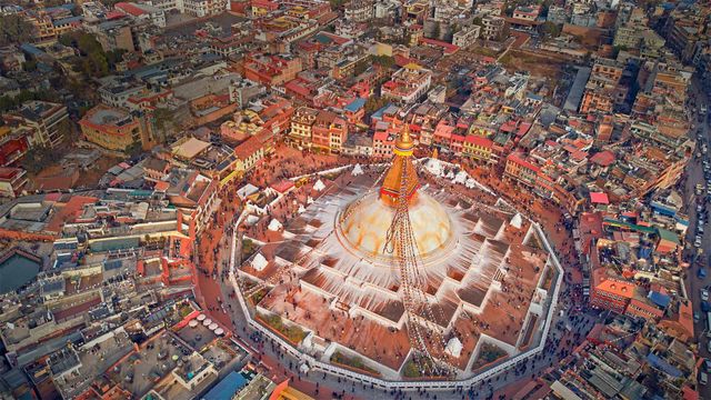 Aerial view of Boudhanath stupa in Kathmandu, Nepal
 The Dubai Fountain in Burj Lake, taken from the Burj Khalifa in Dubai, United Arab Emirates
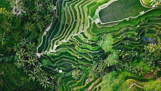 Tegallalang terrace farms in Ubud, Bali, Indonesia
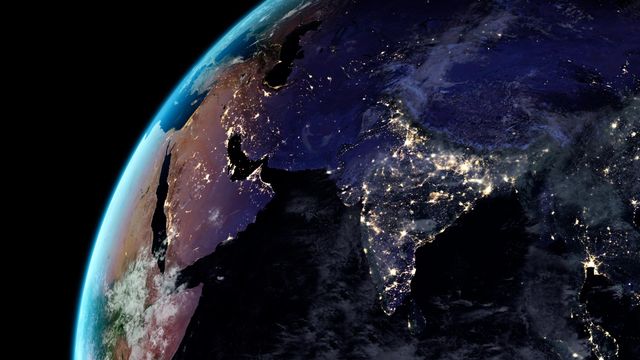 Artificial light from Earth
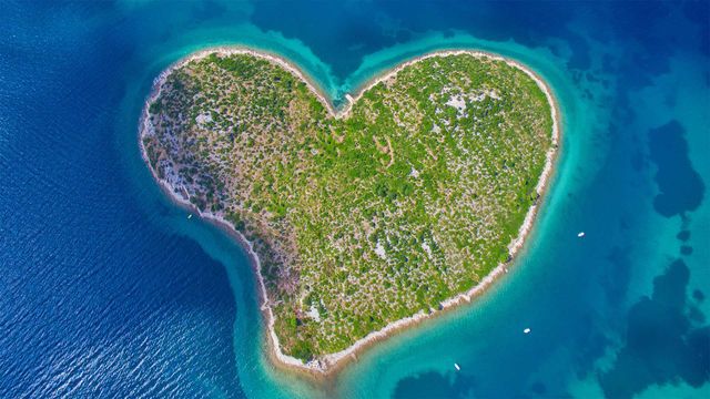 Aerial view of Galešnjak Island on the Adriatic coast of Croatia
Bing Today Images


White trilliums blooming in Ontario, Canada
Apr 24, 2024

Old underground cellar, Bavaria, Germany
Apr 24, 2023