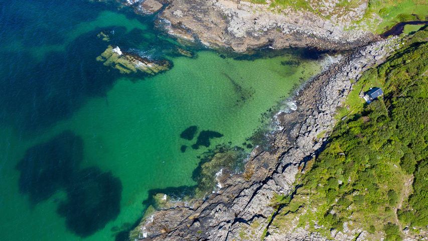
Aerial shot of waves lapping up onto rocks in Portuairk Bay, Ardnamurchan, Lochaber
© Cavan Images/Offset by Shutterstoc
The wild West Highlands
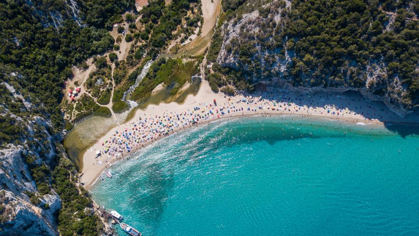
Those clear, turquoise waters lapping against a white sand beach might suggest this secluded spot is in the Caribbean. Actually, we’re hovering over the outskirts of Portuairk in the West Highlands, the most westerly settlement in mainland Britain. Less than three miles south of here is the most westerly point, the Corrachadh Mòr headland, which sticks out 23 miles further west than Land’s End.
Portuairk is perched on the westerly edge of Ardnamurchan, a peninsula which takes its name from the Scottish Gaelic Àird nam Murchan, or ‘headland of the great seas’. This 50-square-mile area is home to some of Scotland’s wildest landscapes - and an ancient volcanic crater. You’ll need to take the ferry or a long, narrow winding road to get to this remote area. Once here, sweeping views await those who walk along the coastal path from this spot to Sanna Bay, looking out over the Small Isles of the Inner Hebrides - Rùm, Eigg and Muck - and, on a clear day, out to the Cuillin mountain range on the Isle of Skye.
That secluded little house to the right of the image is one of a handful of traditional cottages scattered around the coast here. Temperatures might not reach Caribbean levels but the beaches are considerably less crowded - visitors can fire up the wood burning stove and relax in isolation, listening to the rhythm of the tide.
Related Images
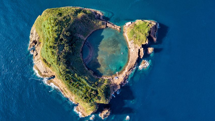 Vila Franca Islet, São Miguel Island, Azores, Portugal
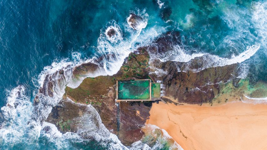 Mona Vale rockpool, Sydney, Australia
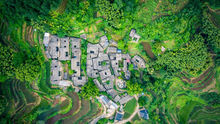 Tea garden at Yangjiatang Village, Songyang County, China
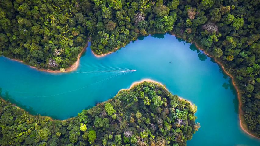 Khao Sok National Park, Surat Thani, Thailand
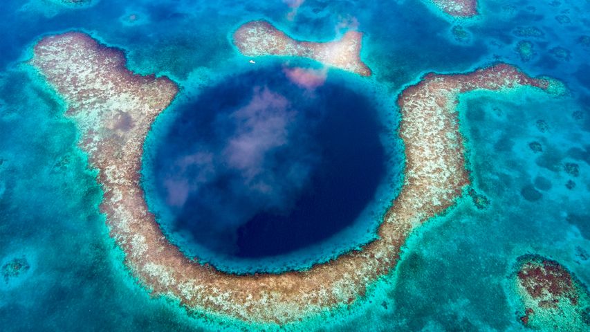 Great Blue Hole, Belize
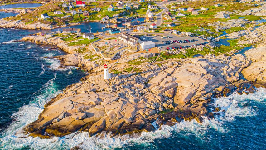 Peggy's Cove Lighthouse, Nova Scotia, Canada
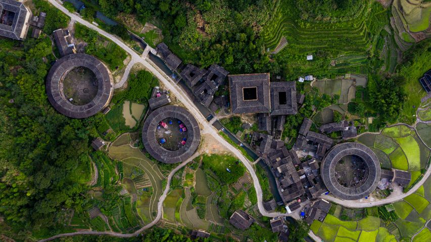 Fujian Tulou complex of historical and cultural heritage buildings in Fujian province, China
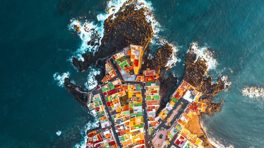 Puerto de la Cruz, Tenerife, Spain
Bing Today Images