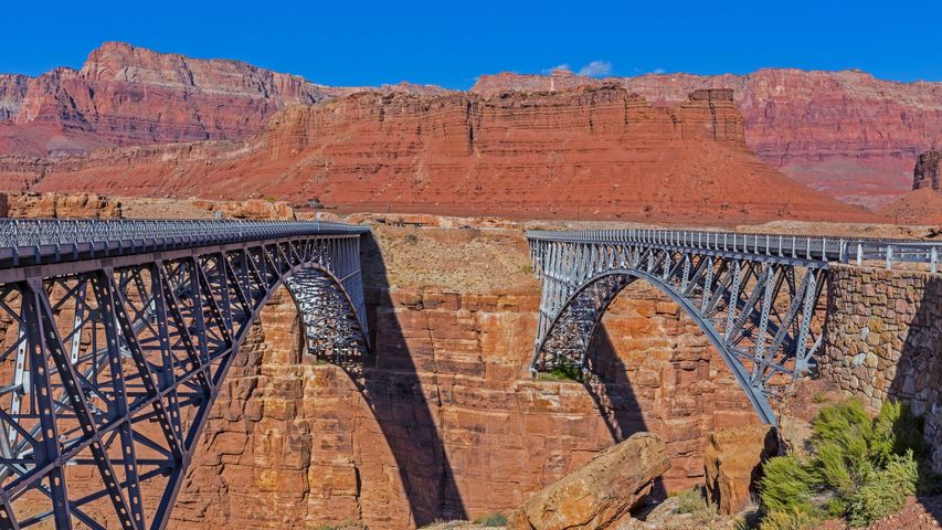
Navajo Bridge over the Colorado River at the Glen Canyon National Recreation Area in northern Arizona
© trekandshoot/Alam
Bridging the gap two ways. Navajo Bridge in Marble Canyon
In the late 1800s, pioneers in Utah who wanted to expand their settlements south into Arizona were confronted by 600 miles of deep canyons carved by the Colorado River. By 1873 a ferry was established to cross the Colorado at the mouth of Glen Canyon—Lees Ferry, as it was called, remained vital to settlers in the area for more than 50 years, until authorities decided a bridge would provide more reliable and safer crossing. Construction began in 1927 of a span across the 834-foot gap of Marble Canyon, at the head of the Grand Canyon. When Grand Canyon Bridge opened to traffic in 1929 it was hailed as a 'modern marvel' and 'the biggest news in Southwest history.'
But as time passed, the bridge, which was officially renamed Navajo Bridge in 1934, saw heavier vehicles and more traffic. Debates raged over the traffic’s impact on Native land and endangered plants, and the likelihood of debris falling into the river below. The solution was a new, nearly identical but wider second bridge just downstream from the original bridge. It was dedicated on September 14, 1995, to much fanfare. Both bridges, collectively known as Navajo Bridge, are about 470 feet above the river below. The original span serves as a path for humans and horses while the new bridge carries vehicles.
Related Images
Bing Today Images
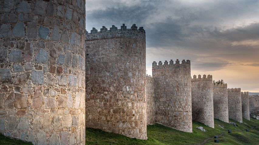 Medieval city walls, Ávila, Spain
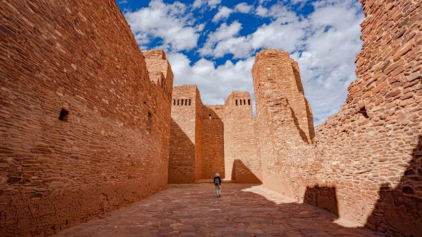 Mission church ruins at Quarai, Salinas Pueblo Missions National Monument, New Mexico
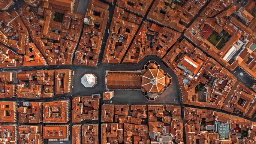 The Cathedral of Florence, Italy
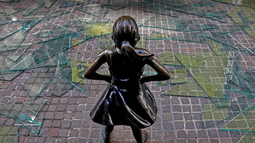 The 'Fearless Girl' statue outside the New York Stock Exchange in New York City
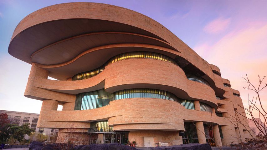 The National Museum of the American Indian in Washington, DC
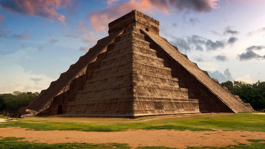 Equinox at the Temple of Kukulcan in Chichen Itza, Mexico
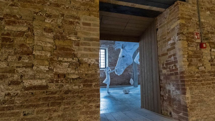 'El Problema del Caballo' by Claudia Fontes in Venice, Italy
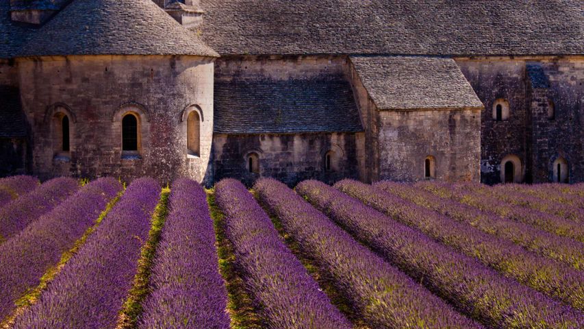 Blooming field of lavender at Sénanque Abbey, Gordes, Vaucluse, Provence Alpes Cote dAzur, France
