Salt flats in San Francisco Bay
© Jeffrey Lewis/Tandem Stills + Motio
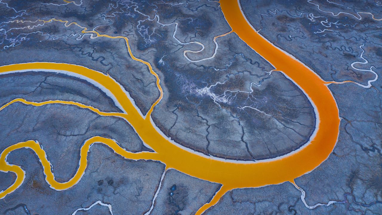
A salty situation. San Francisco Bay salt flats
You might be wondering where the volcano is in today's photo, but that's not lava. These are salt flats in San Francisco Bay—many of these tidal marshes have been developed into evaporation ponds for the harvest of sea salt. If you happen to be in the air and flying over this part of the country, you'll notice pools of not just bright orange but green, blue, and even magenta among the famous salt ponds. The vibrant colors are determined by brine shrimp, algae, and other microorganisms and their responses to different levels of salt. This orange results from a mid-level saline concentration and the presence of tiny brine shrimp in the water. Green indicates low levels of salt, while pink or red are signs of high salt content in an algae-rich pond.
When Spanish explorers and missionaries arrived in the area in the late 18th century, members of the Indigenous Ohlone people were already extracting salt from the naturally occurring ponds. The California gold rush (1848-1855) brought waves of settlers to the region, and salt became one of San Francisco's largest industries. Roughly 80% of the wetland was eventually lost to salt mining, landfill, or other industrial alteration. But since 2003, many of these tidal flats have been acquired by federal and state agencies as well as private foundations to be restored to their original state. The restoration process will take decades, but even as the wetlands are being restored, about half a million tons of sea salt are harvested from the ponds every year.
Related Images
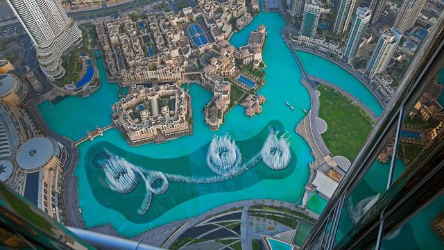 The Dubai Fountain in Burj Lake, taken from the Burj Khalifa in Dubai, United Arab Emirates
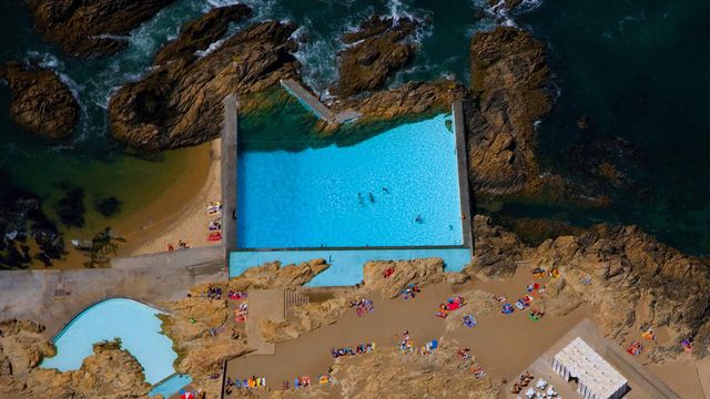 Tidal pools of Leça da Palmeira, Portugal
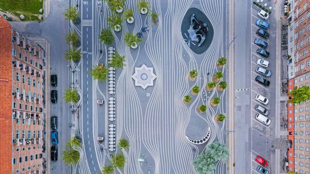 Aerial view of Superkilen, a park in Copenhagen, Denmark
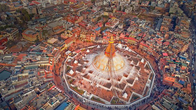 Aerial view of Boudhanath stupa in Kathmandu, Nepal
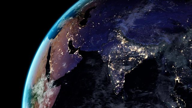 Artificial light from Earth
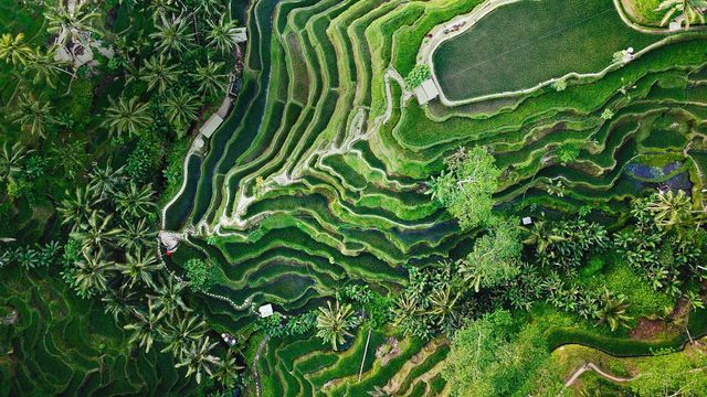 Tegallalang terrace farms in Ubud, Bali, Indonesia
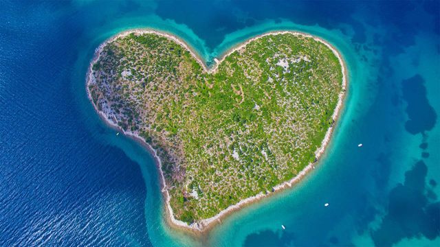 Aerial view of Galešnjak Island on the Adriatic coast of Croatia
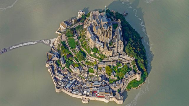 Mont Saint-Michel, France, for its annual marathon
Bing Today Images