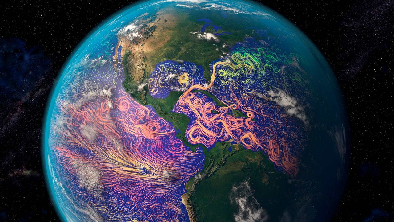
Satellite-based graphic showing ocean currents off the Americas
© Karsten Schneider/Science Photo Library
Satellite-based graphic showing ocean currents off the Americas
It’s easy to think of satellites as technology for observing the realms beyond our planet. But many satellites turn their data-gathering instruments back toward home. That’s how this ocean-currents map was created. The purple and pink swirls represent warmer ocean currents, while the blue and green are cooler currents. Maps like these aid in weather forecasting, determining the temperature of our oceans, and long-term analysis of the oceans’ health.
Related Images
 Black-crested titmouse in Texas Hill Country
 A baobab grove near Bandia Wildlife Reserve in Senegal
 Leopard snoozing in a tree in Namibia
 Aerial shot of mangroves at King Sound, Western Australia
 A Komondor competes in the Westminster Kennel Club Dog Show in New York City
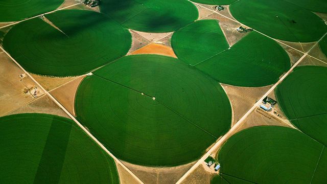 Circular agricultural fields in Morgan County, Colorado
 Grapes on the vine in Mendoza, Argentina, for the National Grape Harvest Festival
 Meditation domes at the Beatles Ashram in Rishikesh, India
Bing Today Images


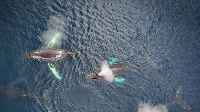
Family of humpback whales, Dutch Harbor, Alaska
Jun 07, 2024


Haaga Rhododendron Park, Helsinki, Finland
Jun 07, 2022

An indigo bunting on a sunflower
Jun 07, 2021

Hermitage of La Pertusa, Lleida province, Spain
Jun 07, 2020


Green sea turtle, Maui, Hawaii, USA
Jun 07, 2018
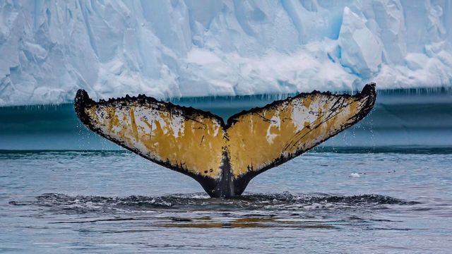
Humpback whale in Cierva Cove, Antarctica
Jun 07, 2016
