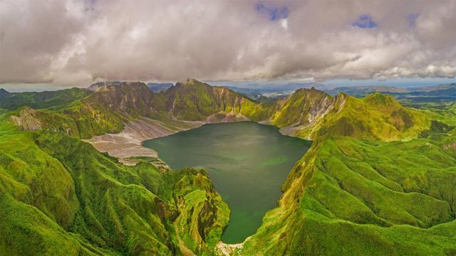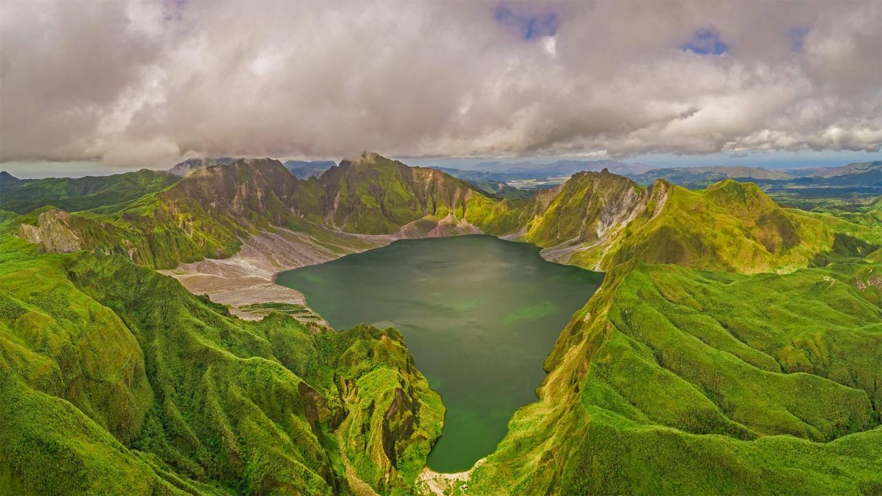
Aerial view of volcanic Lake Pinatubo and mountains, Luzon, Philippines
© Amazing Aerial Agency/Offset by Shutterstoc
Are you older than this lake?
If you were born before summer 1991, the answer is yes. Sorry if you already felt a bit long in the tooth, but it's true: Until 30 years ago, Lake Pinatubo was just a rumble in Mount Pinatubo's magma-filled belly. It was a calamitous eruption on June 15, 1991—one of the 20th century's most powerful—that blew off Pinatubo's original summit and formed a vast crater, which gradually filled with water as greenery reclaimed the summit.
Located about 50 miles from the Philippine capital of Manila, the crater was for many years a niche destination for hardy hikers, requiring days of travel to reach. More recently, a four-wheel-drive road and tended hiking trail were added, reducing the rugged journey to a day trip.
Related Images
 Hope Valley, Peak District, England
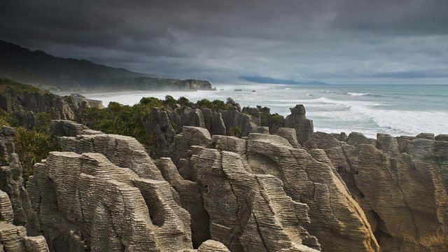 For Waitangi Day, the Pancake Rocks on New Zealand’s South Island
 An old farm in the Shetland Islands, Scotland
 Old Town of Tallinn, Estonia
 Mount Rainier National Park in Washington state
 Coast redwoods in Henry Cowell Redwoods State Park, California
 Hong Kong-Zhuhai-Macau Bridge, China
 Mua Caves in the Ninh Bình province of Vietnam
Bing Today Images