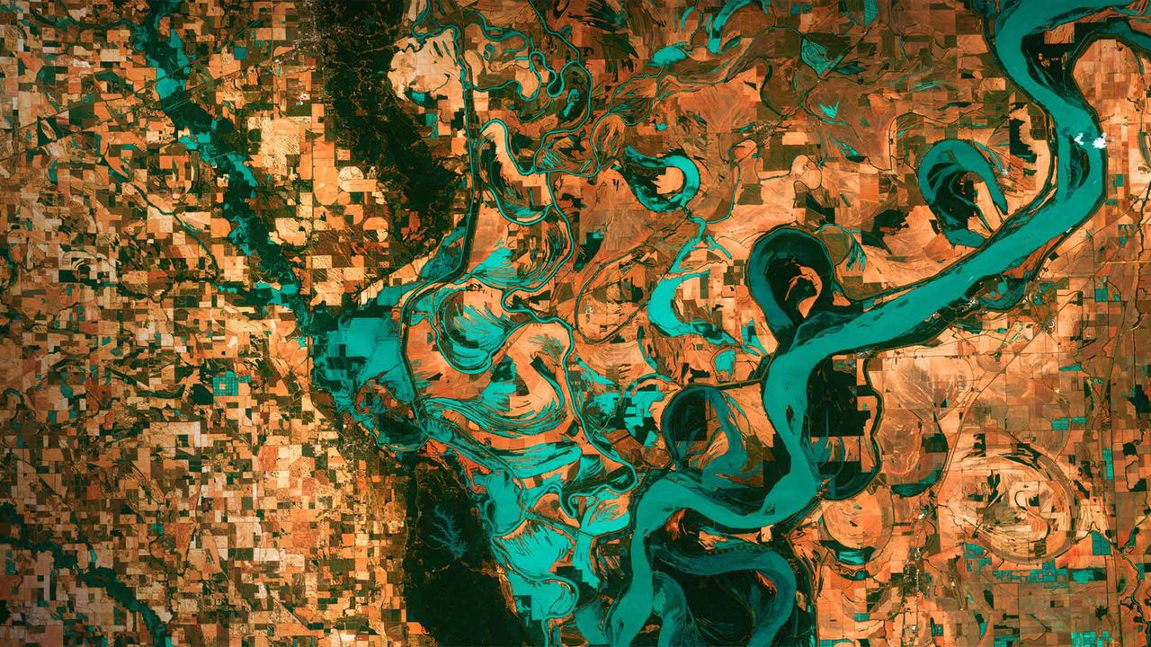
Mississippi River on the border between Arkansas and Mississippi
© NAS
Gazing down on planet Earth
It's Earth Day today and we are high above the blue marble looking down on the border between Arkansas and Mississippi. Those small, blocky shapes are towns, fields, and pastures, and the teal green is the mighty Mississippi River. Anyone who has flown in the window seat of an airplane and gazed down at Earth below might wonder why the colors in this image look so unreal. That's because they are. This image was taken in 2013 by Landsat 7, a NASA satellite that uses thermal infrared sensors to help scientists better distinguish flora, fauna, water, and manmade objects. For almost 50 years, NASA has been using satellite imagery to understand how climate change and population growth are affecting our fragile planet. These satellites help NASA see where deforestation and wildfires are happening, where glaciers are melting, and how rising waters are encroaching on cities.
The biggest cause of these changes? According to NASA, it's us. Since the first Landsat launched in 1972, the Earth's population has almost doubled, from 4 billion people then to 7.8 billion today. But there is some good news to mark this Earth Day: The Mississippi River we see here is much less toxic now than it was back in 1972, thanks to environmental laws and regulations.
Related Images
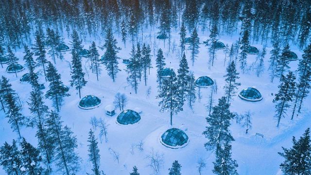 Glass igloos at the Kakslauttanen Arctic Resort in Saariselkä, Finland
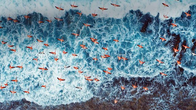 Aerial view of American flamingos flying over Los Roques Archipelago National Park, Venezuela
 'The Spirit of Harlem' mural by Louis Delsarte in Harlem, New York City
 Handicrafts of the Guna people of the Guna Yala archipelago, Panama
 Aerial view of Superkilen, a park in Copenhagen, Denmark
Bing Today Images