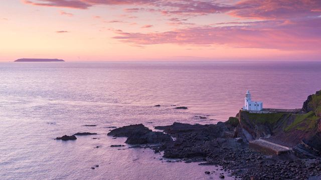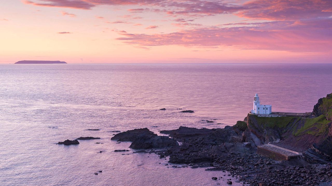
Hartland Point Lighthouse and Lundy Island beneath a colourful sunset, North Devon
© Adam Burton/Alamy Stock Phot
Deceptively calm waters. The sun sets on Hartland Point
All may look calm in this sunset scene but here at the north-west tip of Devon’s coast, the Atlantic Ocean meets the Bristol Channel - and these waters can be treacherous. The fierce currents in these parts saw the Romans name Hartland Point the ‘promontory of Hercules’ and the rocky cliffs and secluded coves around here have sent many ships to their doom. From the coastal path, walkers can still spot the remains of cargo ship Johanna, which ran aground on New Year’s Eve in 1982.
The lighthouse itself, which opened in 1874, stands 120ft (37m) above sea level and its light can be seen up to 25 miles away. Sitting just out of shot behind it is Hartland Point, a towering 325ft (99m) rocky outcrop. Sections of rock behind the lighthouse were broken off and allowed to fall to the beach to try to protect it from the waves. But they were repeatedly washed away, leaving the lighthouse teetering on the edge. A permanent sea wall was built in 1925.
Out on the horizon to the left is the silhouette of Lundy Island, a three-mile-long granite outcrop, which has been inhabited for at least 3,000 years. It is home to lots of wildlife, including colonies of puffins and Manx Shearwaters on its rugged west coast and is said to have been named by Viking invaders - Lundy is from the Old Norse word for puffin.
Related Images
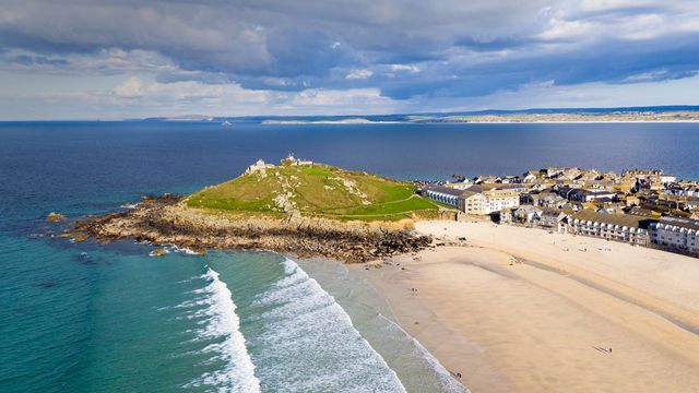 Porthmeor beach in St Ives, Cornwall, England
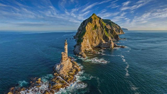 Lighthouse at Cape Aniva, Sakhalin Island, Russia
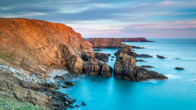 Pitting Gales Point, Pembrokeshire Coast National Park, west Wales
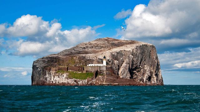 The Bass Rock in Scotland’s Firth of Forth
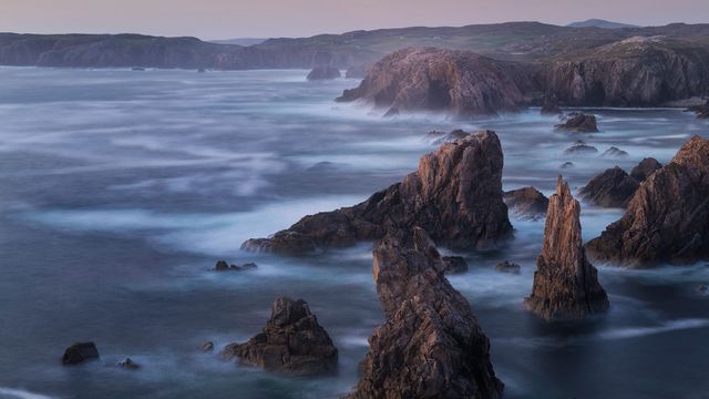 Jagged coastal sea stacks at Mangersta, Isle of Lewis, Outer Hebrides
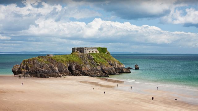 St Catherine’s Island, Tenby, Pembrokeshire
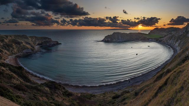 Panoramic view of Lulworth Cove at sunset, Dorset
 Frosty morning at Hadrian's Wall on Winshields Crags, looking towards Crag Lough in Northumberland
Bing Today Images