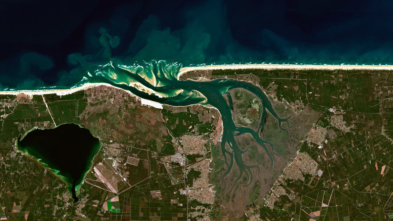
Coastal Dunes, Sado Estuary, Portugal
© Copernicus Sentinel Data 2025
A dominant dune
This overview, showing France's Great Dune of Pilat at low tide, is one of countless finely detailed images available in the Microsoft Planetary Computer. This vast, cloud-powered database lets scientists see a whole timeline of crisp satellite captures and environmental data for any location in the world. By analyzing this data, scientists can explore better ways to manage natural resources. For example, a scientist could match shots of Pilat year-over-year with historical wind and tidal data to show how and why the Great Dune has shifted over time.
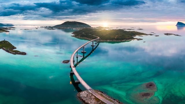 Atlantic Ocean Road, Midnight Sun turquoise water, Norway
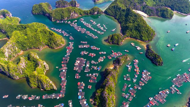 Karst Islands Floating Fishing Village, Ha Long Bay, Vietnam
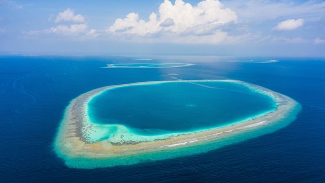 Coral Atoll, Maldives
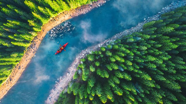 Two paddlers, red kayak, misty river, pine forest
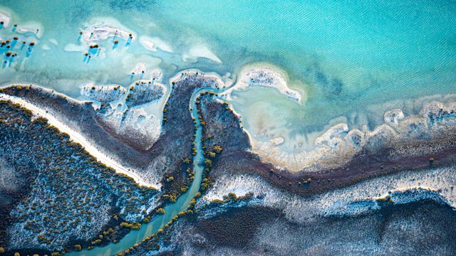 Convoluted coast with shallow turquoise water
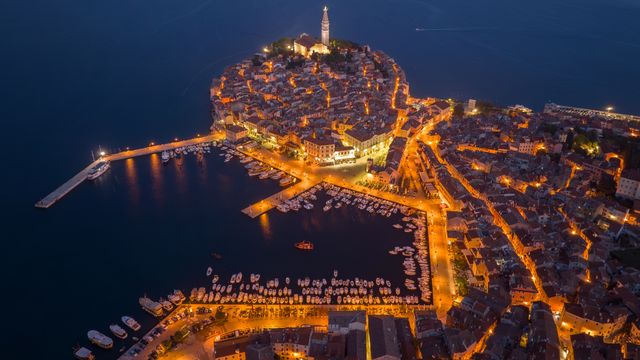 Illuminated Old Town harbor, Rovinj, Croatia
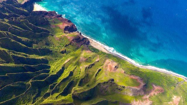 Na Pali Coast Green Cliffs Beach, Kauai, Hawaii
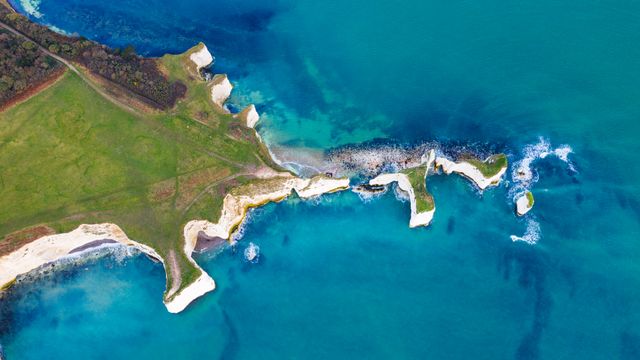 Old Harry Rocks, Dorset, England
