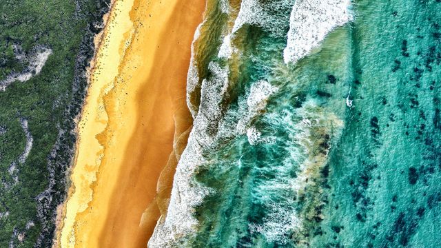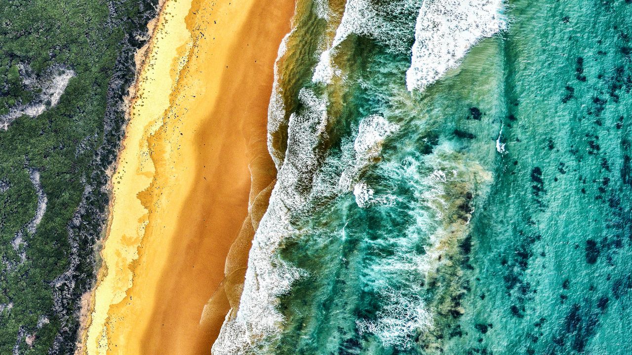
Aerial view of land and ocean, Victoria, Australia
© Nearmap/Getty Image
The land of moving shorelines. Aerial view of land and ocean, Victoria, Australia
Victoria, a southeastern state of Australia, extends along more than 1,800 kilometres of mainland coastline shaped by the Southern Ocean. From above, its beaches appear as sweeping bands of pale sand edged by turquoise waters and rugged cliffs. This dynamic interaction of land and sea defines much of the region's appeal. The famous Great Ocean Road traces roughly 240 kilometres of this shoreline, winding past popular surf spots, forested headlands, and seaside towns.
One of its most striking sights is the Twelve Apostles, towering limestone stacks formed over millions of years by wind and waves. Nearby stretches feature powerful surf breaks like Bells Beach and quieter coves where coastal vegetation meets open sand. Beyond the shore, farmland and national parks provide contrast, supporting wildlife and scenic trails.
Victoria's capital, Melbourne, sits on Port Phillip Bay, anchoring a state known for both cultural energy and natural variety, from alpine peaks to untamed coastlines.
Related Images
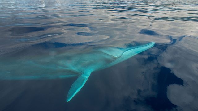 A fin whale in the waters off the Azores
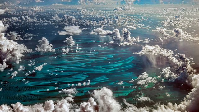 Cumulus clouds over the Caribbean
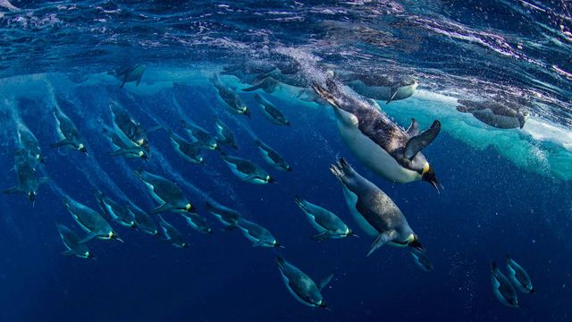 Emperor penguins in the Ross Sea, Antarctica
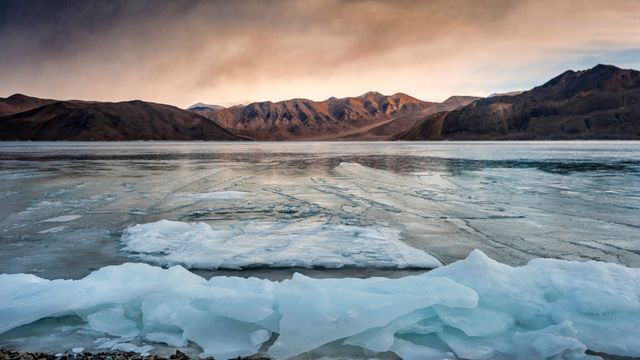 Scenic view of frozen lake, Ladakh.
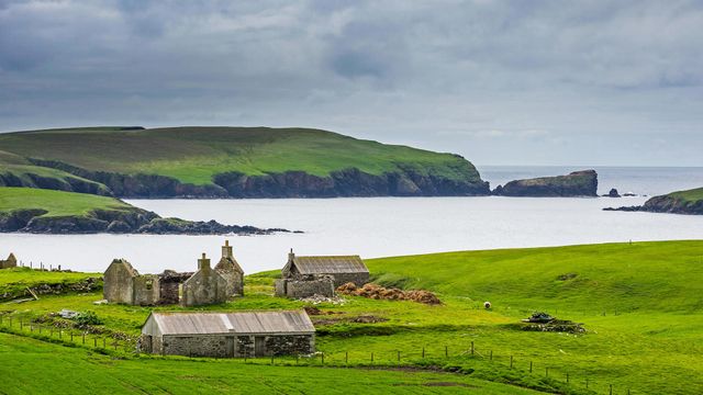 An old farm in the Shetland Islands, Scotland
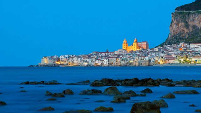 Cefalù on Mediterranean Sea in Sicily, Italy
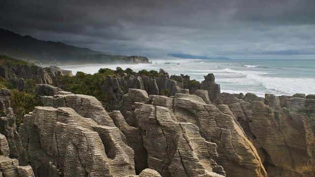 For Waitangi Day, the Pancake Rocks on New Zealand’s South Island
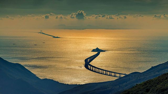 Hong Kong-Zhuhai-Macau Bridge, China
Bing Today Images