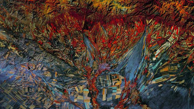
Landsat 8 satellite’s composite infrared photo of fields in Kazakhstan
© NASA
Landsat 8 satellite’s composite infrared photo of fields in Kazakhstan
The Landsat Earth-imaging program is jointly managed by NASA and the US Geological Survey. Its mission is to capture a continuous visual record of the Earth’s surface, and it’s been doing this for longer than any similar endeavor. The first Landsat craft, known as the Earth Resources Technology Satellite, launched in 1972. Landsat 8 launched in 2013, and continues to orbit the Earth, taking photos such as this composite image of Kazakhstan’s topography. This photo combines infrared imaging with a more traditional full-spectrum photography. And because of its patchwork-like appearance—as if Picasso had made quilts—this image is included in the Landsat ‘Earth as Art’ collection of photos from the satellite.
Related Images
 The Dubai Fountain in Burj Lake, taken from the Burj Khalifa in Dubai, United Arab Emirates
 An aerial view of Beijing Daxing International Airport, China
 A common loon in the Superior National Forest in Minnesota
 'The Wall for Peace' and the Eiffel Tower in Paris for the International Day of Peace
 The Vochol, a Volkswagen Beetle decorated with traditional Huichol beadwork
 Seville, Spain’s Guadalquivir River and Triana Bridge for the 500th anniversary of Magellan’s departure
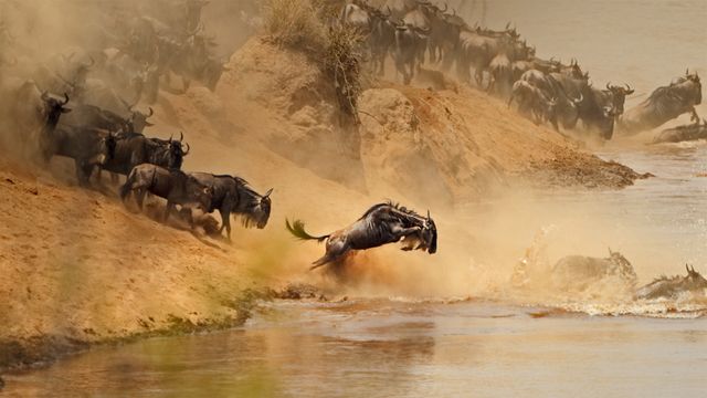 Wildebeest herd crossing the Mara River between Kenya and Tanzania
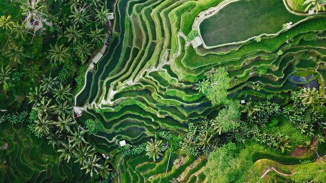 Tegallalang terrace farms in Ubud, Bali, Indonesia
Bing Today Images

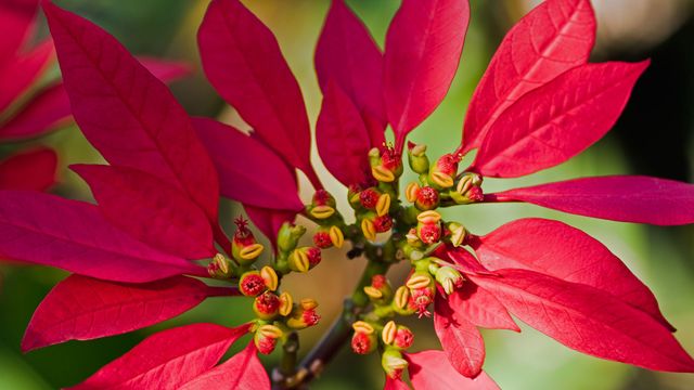
Spotted poinsettia
Dec 12, 2025
Wild poinsettia (aka Christmas flower)
Dec 12, 2024

Poinsettias
Dec 12, 2023

Poinsettia plants
Dec 12, 2022
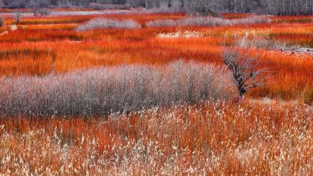
Wicker fields in Cañamares, Spain
Dec 12, 2021
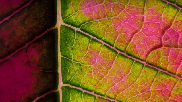
Poinsettia leaf close-up
Dec 12, 2020
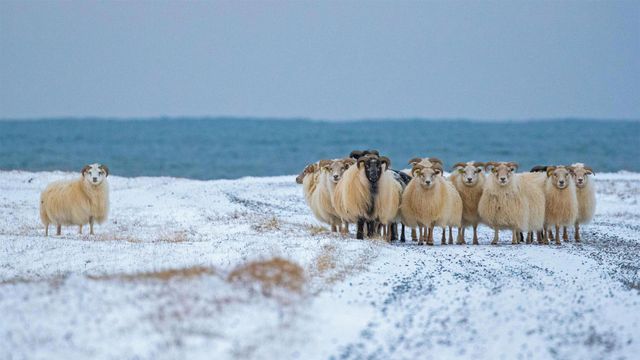
Icelandic sheep for the first night of the Yule Lads
Dec 12, 2019
Poinsettia flower buds
Dec 12, 2018