Landsat 8 satellite’s infrared photo of fields in Kazakhstan
© NASA
Landsat 8 satellite’s infrared photo of fields in Kazakhstan
The Landsat Earth-imaging programme is jointly managed by NASA and the US Geological Survey. Its mission is to capture a continuous visual record of the Earth’s surface and it’s been doing this for longer than any similar endeavour. The first Landsat craft, known as the Earth Resources Technology Satellite, launched in 1972. Landsat 8 launched in 2013 and continues to orbit the Earth, taking photos such as this composite image of Kazakhstan’s topography. This photo combines infrared imaging with a more traditional full-spectrum photo. And because of its quilt-like appearance - as if Picasso had made quilts - this image is included in the Landsat ‘Earth as Art’ collection of photos from the satellite.
Related Images
 Grapes on the vine in Mendoza, Argentina, for the National Grape Harvest Festival
 A baobab grove near Bandia Wildlife Reserve in Senegal
 Lake Dobson in Mount Field National Park of Tasmania, Australia
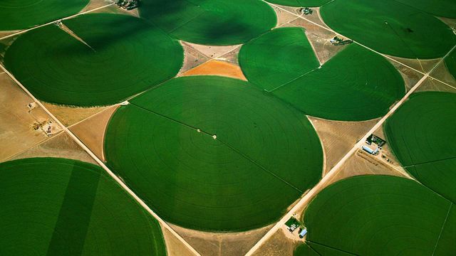 Circular agricultural fields in Morgan County, Colorado, USA
 Crocus flowers
 Meditation domes at the Beatles Ashram in Rishikesh, India
 Close-up view of a Komondor
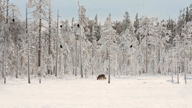 Grey wolf with flock of ravens in Finland
Bing Today Images

Spotted poinsettia
Dec 12, 2025
Poinsettia or Christmas flower
Dec 12, 2024

Reed bunting, Newport Wetlands, Wales
Dec 12, 2023

Poinsettia plants
Dec 12, 2022

Wicker fields in Cañamares, Spain
Dec 12, 2021

Poinsettia leaf close-up
Dec 12, 2020

Icelandic sheep for the first night of the Yule Lads
Dec 12, 2019

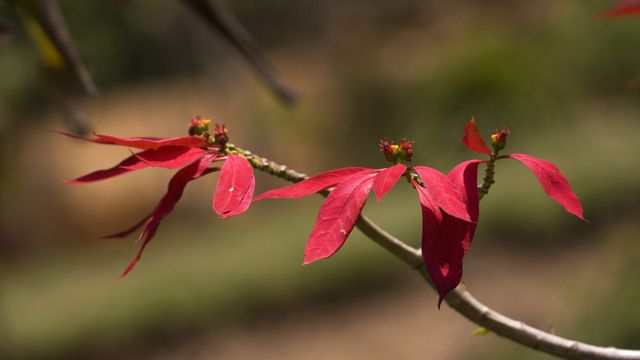
Poinsettia flower buds
Dec 12, 2018