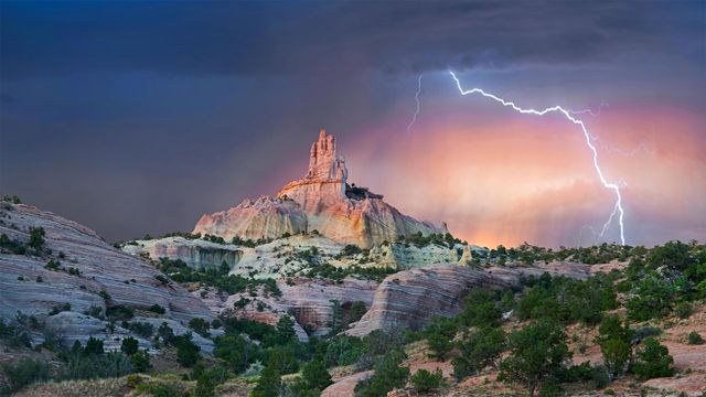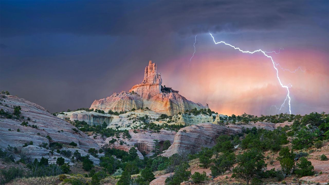
Lightning strikes near rock formation, Church Rock, Red Rock Park, New Mexico
© Tim Fitzharris/Minden Picture
Struck by Southwestern beauty
It's okay if this stormy shot stirs your spirit with holy awe: They call this wind-carved edifice Church Rock for a reason. Surrounded by an enchanting Southwestern landscape, it's a sight that almost invites you to get lost out here—and if you look at a map of these parts, you'll see that's not too hard.
We're in the 'checkerboard' region of western New Mexico, where patchwork borders separate sovereign Navajo Nation grounds and private land from that administered by an alphabet soup of federal, state, and local agencies. (For its part, Church Rock was the crown jewel of a state park before it was returned to the Navajo in 1989, while the city of Gallup now maintains the nearby parkland.) Maybe it's simpler to think in terms of a more ancient boundary line: The Great Continental Divide, marking the border between North America's Atlantic- and Pacific-destined waters, crosses Route 66 just east of the checkerboard.
Related Images
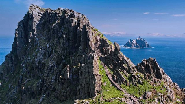 The Skellig Islands, Skellig Michael and Little Skellig, in Ireland
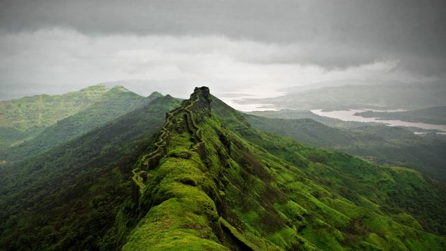 Rajgad Fort near Pune, India
 Rio Grande and Sierra del Carmen Mountains in Big Bend National Park, Texas
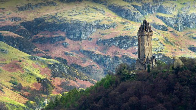 The National Wallace Monument overlooking Stirling in Scotland
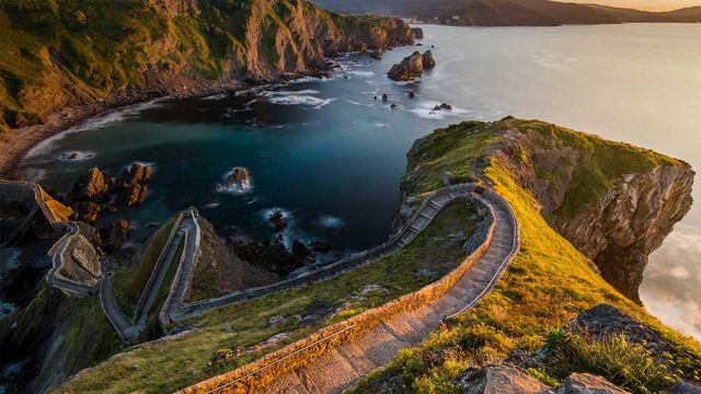 Path to San Juan de Gaztelugatxe, Basque Country, Spain, for the 'Game of Thrones' premiere
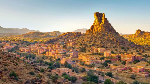 The village of Aguerd Oudad and the larger town of Tafraout in Morocco
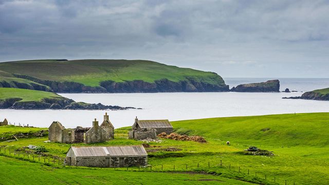 An old farm in the Shetland Islands, Scotland
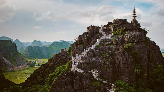 Mua Caves in the Ninh Bình province of Vietnam
Bing Today Images