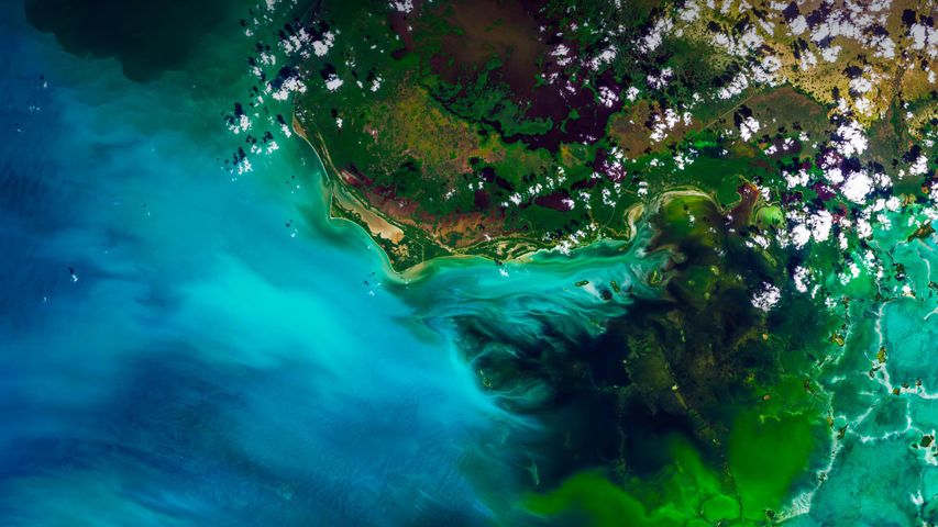
Satellite view of Everglades National Park, Florida
© Satellite Earth Art/Aurora Photos
Satellite view of Everglades National Park, Florida
You’re looking at a satellite view of Florida’s Everglades, the largest subtropical wilderness in the US. It’s not a static wetland, but rather a ‘river of grass,’ a slow-moving river 97 kilometres wide and 160 kilometres long. Keep zooming in and you’ll likely see sawgrass marshes, mangrove trees, tropical birds, and a gator or two. Among the myriad interesting things about this unique and fragile ecosystem—it’s the only place in the world where American alligators and American crocodiles co-exist. How do you tell the difference between the two? Well, you see one later and the other after a while. (See what we did there?)
Related Images
Bing Today Images
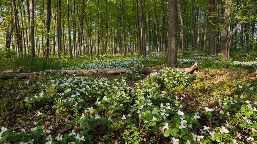
White trillium blooming in Ontario, Canada
Apr 24, 2024
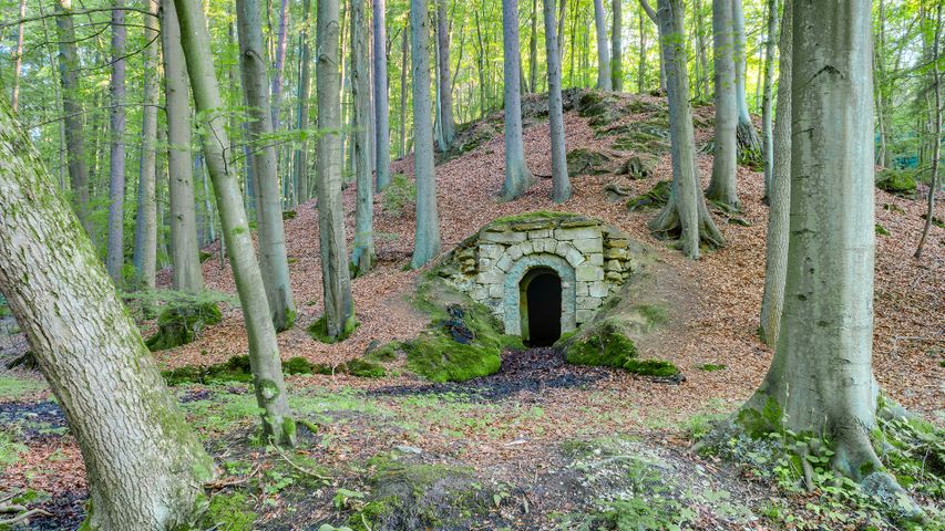
Bavarian Forest wine cellar, Germany
Apr 24, 2023
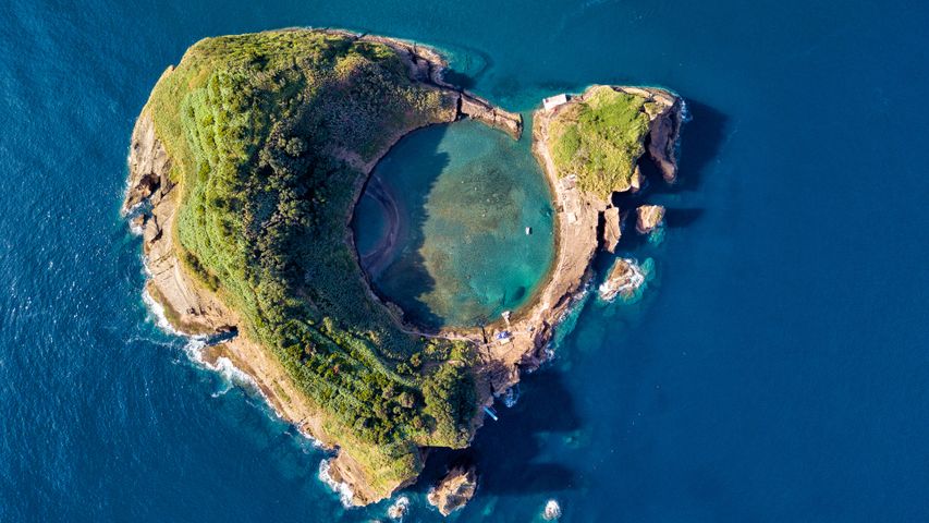 Vila Franca Islet, São Miguel Island, Azores, Portugal
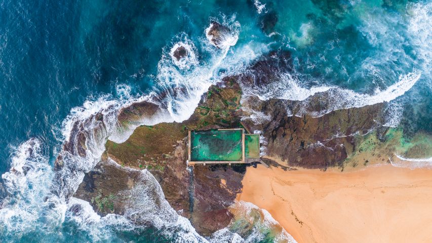 Mona Vale rockpool, Sydney, Australia
 Tea garden at Yangjiatang Village, Songyang County, China
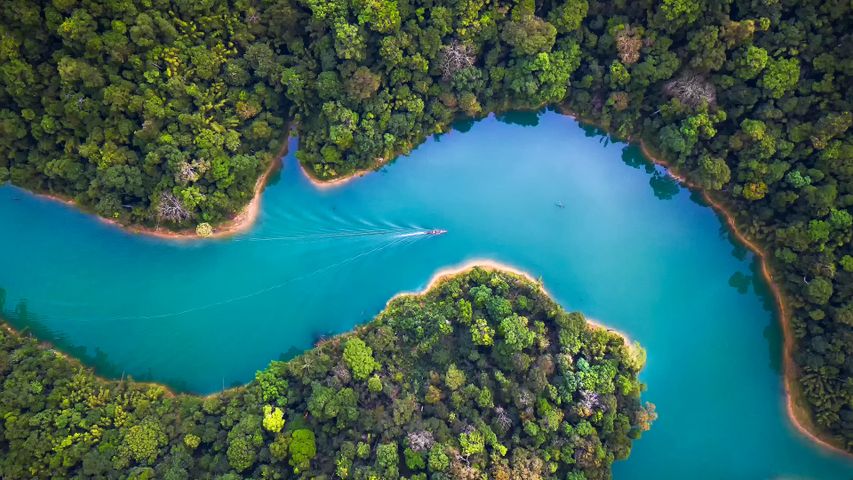 Aerial view of Khao Sok National Park, Surat Thani, Thailand
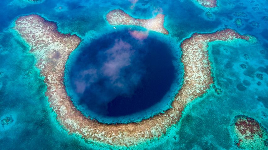 Great Blue Hole, Belize
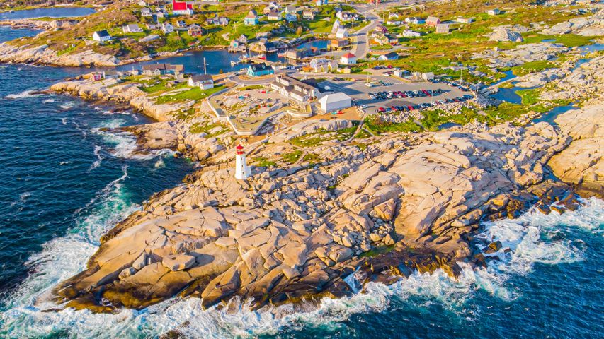 Peggy's Cove Lighthouse, Nova Scotia, Canada
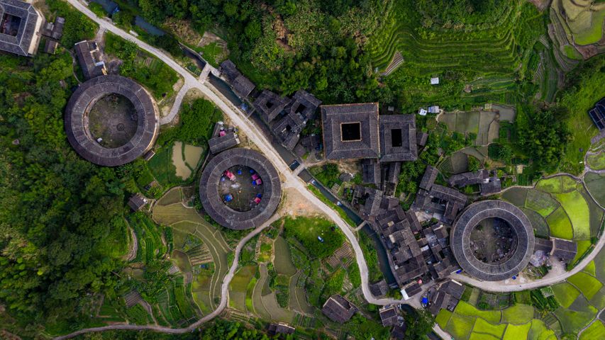 Fujian Tulou complex of historical and cultural heritage buildings in Fujian province, China
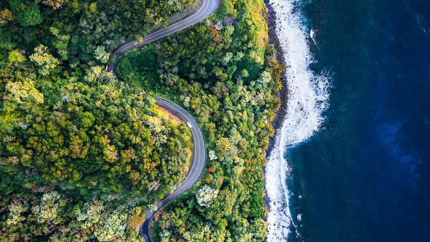 Road to Hana, Maui, Hawaii
